UN/LOCODE hub · United States
USZCX

Center, Limestone

31.5000°, -96.4333°
2
Transport functions

Transport Functions

Road
Multimodal
UN/LOCODE

Hub Profile

Region
TX
GeoNames

Location

Location of USZCX
Natural Earth 10m (public domain) · TX · USZCX · 31.50, -96.43GoogleOSMYandex

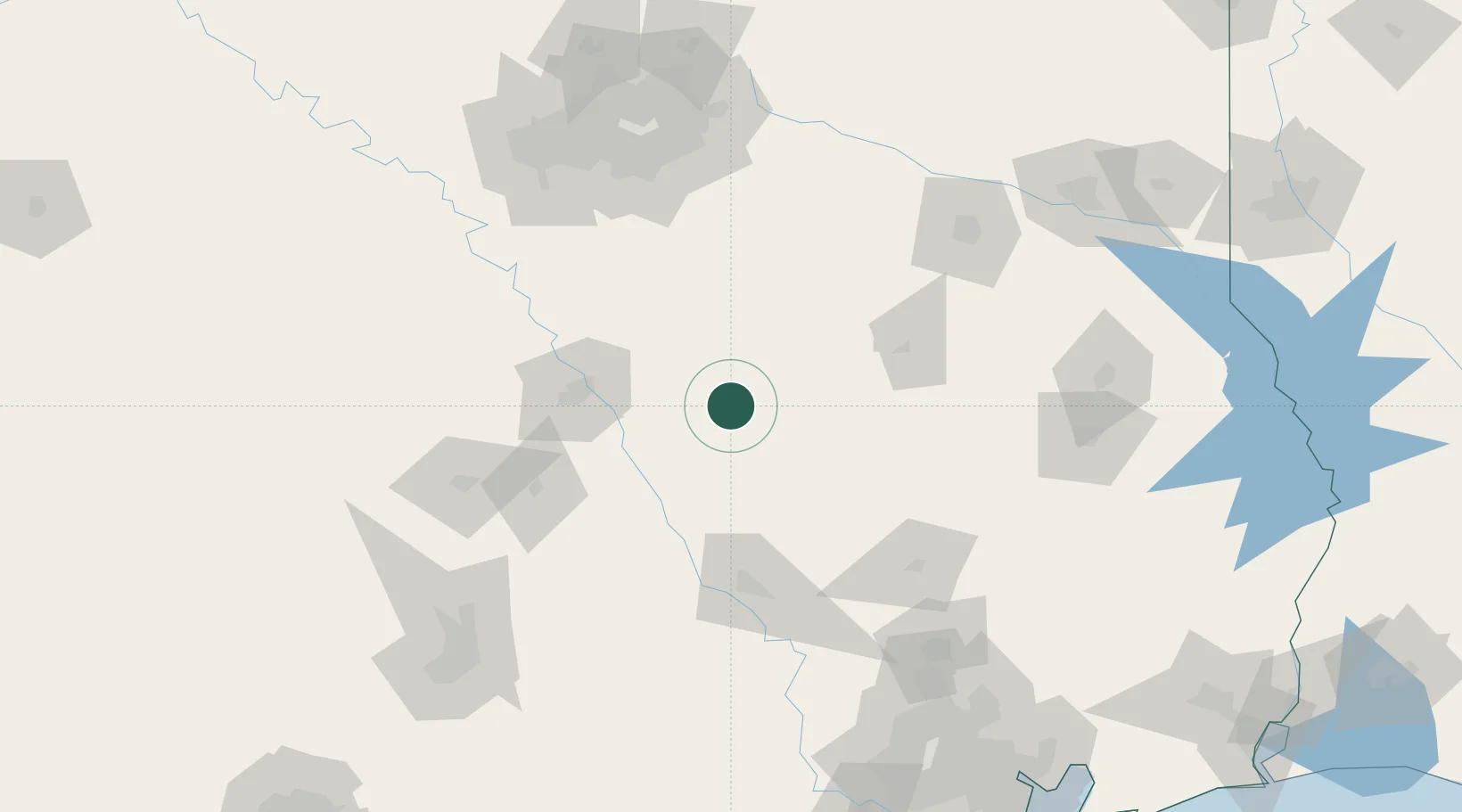
Nearby Logistics Neighbours

Cities
  1. 1Groesbeck10 km
  2. 2Dresden62 km
  3. 3Normangee62 km
  4. 4Malone63 km
  5. 5Elm Mott64 km
Nearest neighbours — logibook spatial index (haversine) over the source coordinates
Ports
  1. 1Deer Park221 km
  2. 2Houston224 km
  3. 3Pasadena230 km
  4. 4Baytown239 km
  5. 5Beaumont274 km
Nearest neighbours — logibook spatial index (haversine) over the source coordinates
Airports
  1. 1Waco Regional Airport77 km
  2. 2Draughon Miller Central Texas Regional Airport100 km
  3. 3Easterwood Field102 km
  4. 4Mid-Way Regional Airport116 km
  5. 5Huntsville Regional Airport116 km
Nearest neighbours — logibook spatial index (haversine) over the source coordinates
Trade Zones
  1. 1FTZ No. 246 Waco78 km
  2. 2FTZ No. 269 Athens93 km
  3. 3FTZ No. 113 Ellis County105 km
  4. 4FTZ No. 297 Lufkin157 km
  5. 5FTZ No. 168 Dallas Fort Worth172 km
Nearest neighbours — logibook spatial index (haversine) over the source coordinates
DatabookThe Record of Consolidated Knowledge
United States beyond logistics?
Browse databook

All Sources

LocationsUN/LOCODE
UN/LOCODE — free
Portsthe NGA World Port Index
Public domain (US gov)
AirportsOurAirports
Public domain
Trade Zonesthe World Bank SEZ database
CC BY 4.0
Trade ZonesOpen Zone Map
CC BY
← United States locations