UN/LOCODE hub · United States
USNGI
Carnegie
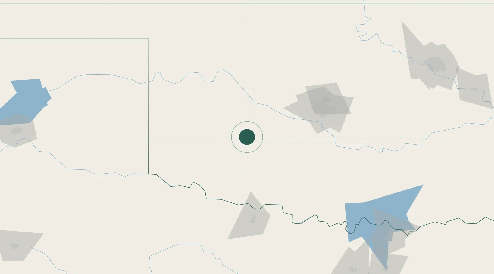
35.1000°, -98.6000°
1,700
Population
3
Transport functions
Transport Functions
Rail
Road
Airport
Hub Profile
Place type
Populated place
Region
Oklahoma
Population
1,700
Time zone
America/Chicago
Elevation
399 m
Location
Nearby Logistics Neighbours
Cities
- 1Eakly23 km
- 2Anadarko34 km
- 3Cache52 km
- 4Dill City53 km
- 5Rush Springs70 km
Airports
Trade Zones
- 1FTZ No. 106 Oklahoma City106 km
- 2FTZ No. 227 Durant236 km
- 3FTZ No. 039 Dallas Fort Worth267 km
- 4FTZ No. 196 Fort Worth273 km
- 5FTZ No. 168 Dallas Fort Worth280 km
DatabookThe Record of Consolidated Knowledge
United States beyond logistics?