Medium airport · United States

Lawton Fort Sill Regional AirportKLAW
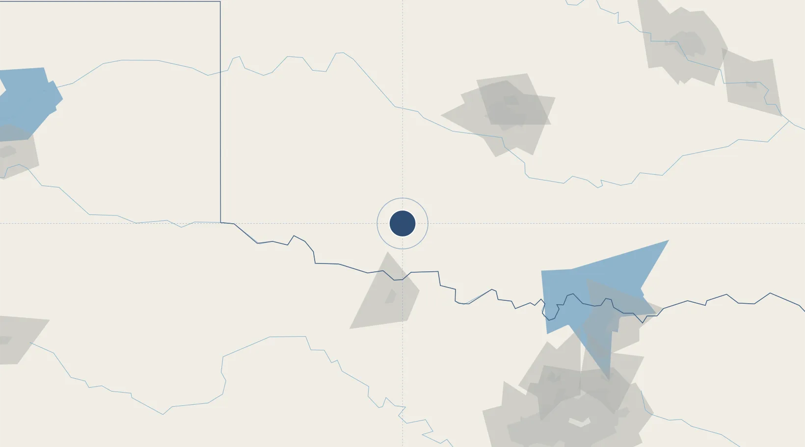
34.5677°, -98.4166°
8,599 ft
Longest runway
1
Runways
1,110 ft
Elevation

Runway & Layout

Lawton Fort Sill Regional Airport runway & taxiway layout
Runway & taxiway layout — OpenStreetMap (ODbL) / OurAirports

Radio Frequencies

ATIS
120.75 MHz
TWR
119.9 MHz
GND
121.9 MHz
CTAF
119.9 MHz
A/D
120.55 MHz
FORT SILL APP/DEP
UNIC
122.95 MHz
UNICOM
OurAirports

Runways · 1

RunwayDimensions SurfaceTrue headingLit
17/35 8,599 × 150ft Concrete 177°
OurAirports

Airport Specifications

IATA code
LAW
OurAirports
ICAO code
KLAW
OurAirports
Airport class
Medium airport
OurAirports
Scheduled service
Yes
OurAirports
Runway surface
Concrete
OurAirports
Served city
Lawton
OurAirports

Location

Location of KLAW
Natural Earth 10m (public domain) · Oklahoma · KLAW · 34.57, -98.42GoogleOSMYandex

Nearby Logistics Neighbours

Airports
  1. 1Henry Post Army Air Field9 km
  2. 2Wichita Falls Municipal Airport / Sheppard Air Force Base65 km
  3. 3Hobart Regional Airport75 km
  4. 4Altus Air Force Base79 km
  5. 5OKC Will Rogers World Airport118 km
Nearest neighbours — logibook spatial index (haversine) over the source coordinates
Cities
  1. 1Cache21 km
  2. 2Marlow44 km
  3. 3Rush Springs48 km
  4. 4Anadarko58 km
  5. 5Carnegie62 km
Nearest neighbours — logibook spatial index (haversine) over the source coordinates
Ports
  1. 1Deer Park609 km
  2. 2Houston611 km
  3. 3Pasadena618 km
  4. 4Baytown626 km
  5. 5Beaumont644 km
Nearest neighbours — logibook spatial index (haversine) over the source coordinates
Trade Zones
  1. 1FTZ No. 106 Oklahoma City129 km
  2. 2FTZ No. 227 Durant196 km
  3. 3FTZ No. 039 Dallas Fort Worth206 km
  4. 4FTZ No. 196 Fort Worth212 km
  5. 5FTZ No. 168 Dallas Fort Worth219 km
Nearest neighbours — logibook spatial index (haversine) over the source coordinates
DatabookThe Record of Consolidated Knowledge
United States beyond logistics?
Browse databook

All Sources

AirportsOurAirports
Public domain
Portsthe NGA World Port Index
Public domain (US gov)
LocationsUN/LOCODE
UN/LOCODE — free
Trade Zonesthe World Bank SEZ database
CC BY 4.0
Trade ZonesOpen Zone Map
CC BY
InfrastructureOpenStreetMap
ODbL 1.0
← United States airports