Transport Functions
Port
Road
Multimodal
Hub Profile
Place type
Populated place
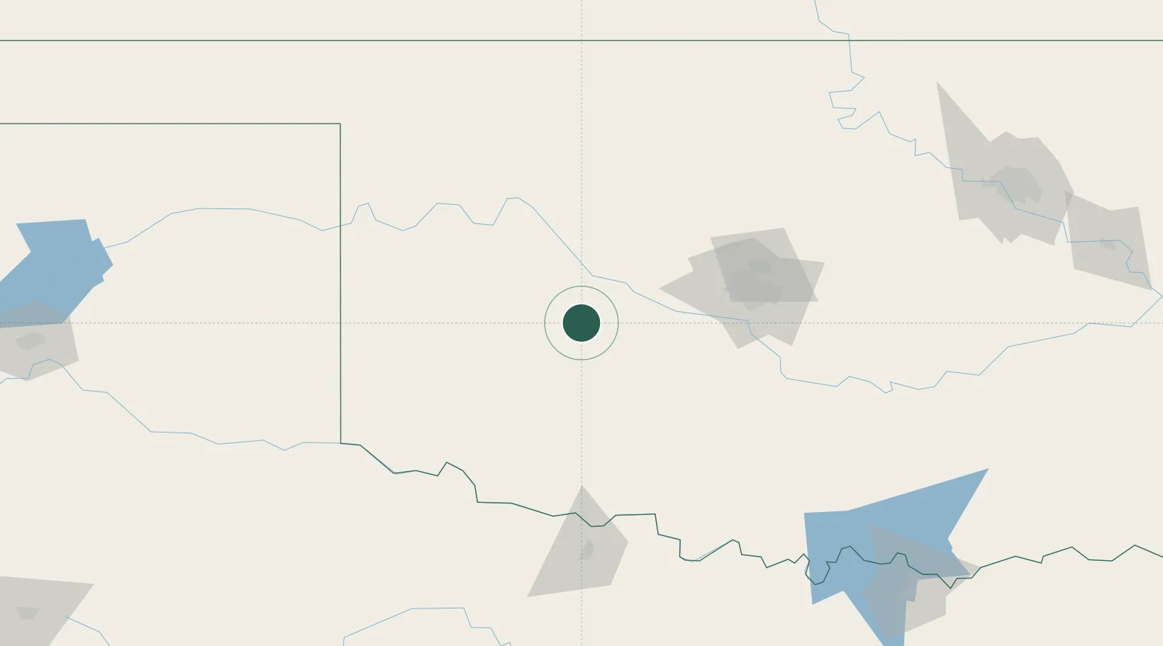
Region
Oklahoma
Population
334
Time zone
America/Chicago
Elevation
456 m
Location
Nearby Logistics Neighbours
Airports
Trade Zones
- 1FTZ No. 106 Oklahoma City95 km
- 2FTZ No. 227 Durant244 km
- 3FTZ No. 053 Rogers County269 km
- 4FTZ No. 161 Sedgwick County275 km
- 5FTZ No. 164 Muskogee286 km
DatabookThe Record of Consolidated Knowledge
United States beyond logistics?