Medium airport · United States

Henry Post Army Air FieldKFSI
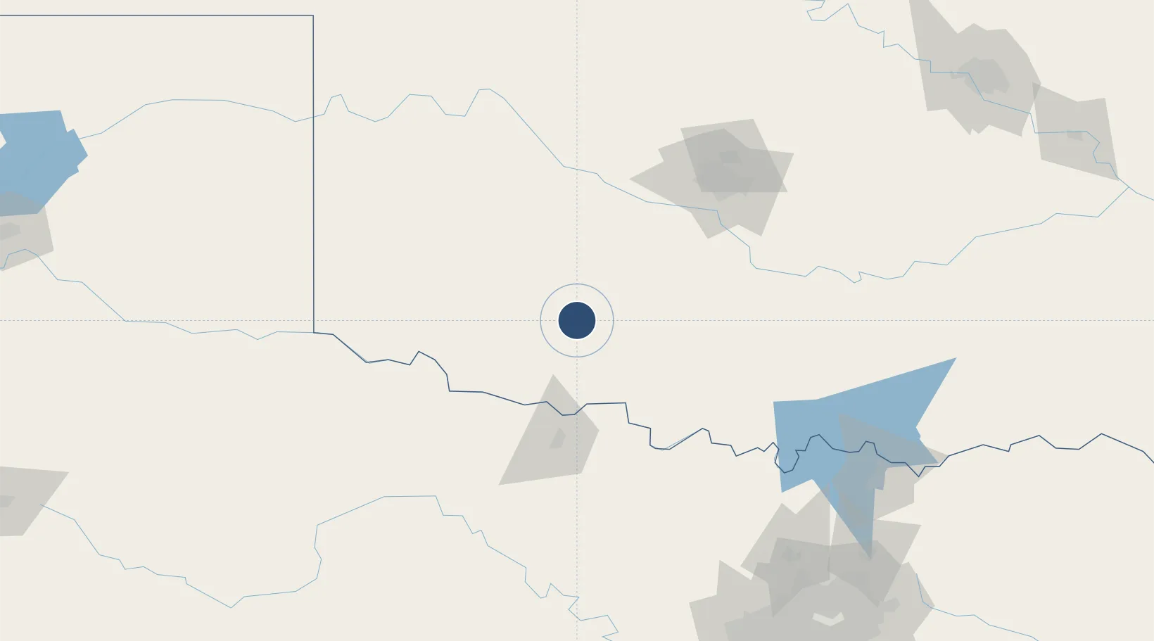
34.6498°, -98.4022°
5,002 ft
Longest runway
1
Runways
1,189 ft
Elevation

Runway & Layout

Henry Post Army Air Field runway & taxiway layout
Runway & taxiway layout — OpenStreetMap (ODbL) / OurAirports

Radio Frequencies

ATIS
135.425 MHz
TWR
124.95 MHz
POST TWR
GND
121.7 MHz
POST GND
CLD
121.7 MHz
CLNC DEL
A/D
118.6 MHz
FORT SILL APP/DEP
MISC
118.6 MHz
DUNCAN SCTR
PMSV
37.52 MHz
PMSV METRO
PTD
123.05 MHz
OurAirports

Navaids

LAW VOR-DME Lawton 109.40 MHz
OFZ NDB Trail 388 kHz
PFL NDB Post 308 kHz
OurAirports

Runways · 1

RunwayDimensions SurfaceTrue headingLit
18/36 5,002 × 150ft Concrete 180°
OurAirports

Airport Specifications

IATA code
FSI
OurAirports
ICAO code
KFSI
OurAirports
Airport class
Medium airport
OurAirports
Scheduled service
No
OurAirports
Runway surface
Concrete
OurAirports
Served city
Fort Sill
OurAirports

Location

Location of KFSI
Natural Earth 10m (public domain) · Oklahoma · KFSI · 34.65, -98.40GoogleOSMYandex

Nearby Logistics Neighbours

Airports
  1. 1Lawton Fort Sill Regional Airport9 km
  2. 2Hobart Regional Airport70 km
  3. 3Wichita Falls Municipal Airport / Sheppard Air Force Base74 km
  4. 4Altus Air Force Base79 km
  5. 5OKC Will Rogers World Airport110 km
Nearest neighbours — logibook spatial index (haversine) over the source coordinates
Cities
  1. 1Cache21 km
  2. 2Marlow41 km
  3. 3Rush Springs43 km
  4. 4Anadarko49 km
  5. 5Carnegie53 km
Nearest neighbours — logibook spatial index (haversine) over the source coordinates
Ports
  1. 1Deer Park617 km
  2. 2Houston619 km
  3. 3Pasadena625 km
  4. 4Baytown633 km
  5. 5Beaumont650 km
Nearest neighbours — logibook spatial index (haversine) over the source coordinates
Trade Zones
  1. 1FTZ No. 106 Oklahoma City121 km
  2. 2FTZ No. 227 Durant198 km
  3. 3FTZ No. 039 Dallas Fort Worth215 km
  4. 4FTZ No. 196 Fort Worth220 km
  5. 5FTZ No. 168 Dallas Fort Worth227 km
Nearest neighbours — logibook spatial index (haversine) over the source coordinates
DatabookThe Record of Consolidated Knowledge
United States beyond logistics?
Browse databook

All Sources

AirportsOurAirports
Public domain
Portsthe NGA World Port Index
Public domain (US gov)
LocationsUN/LOCODE
UN/LOCODE — free
Trade Zonesthe World Bank SEZ database
CC BY 4.0
Trade ZonesOpen Zone Map
CC BY
InfrastructureOpenStreetMap
ODbL 1.0
← United States airports