Transport Functions
Rail
Road
Hub Profile
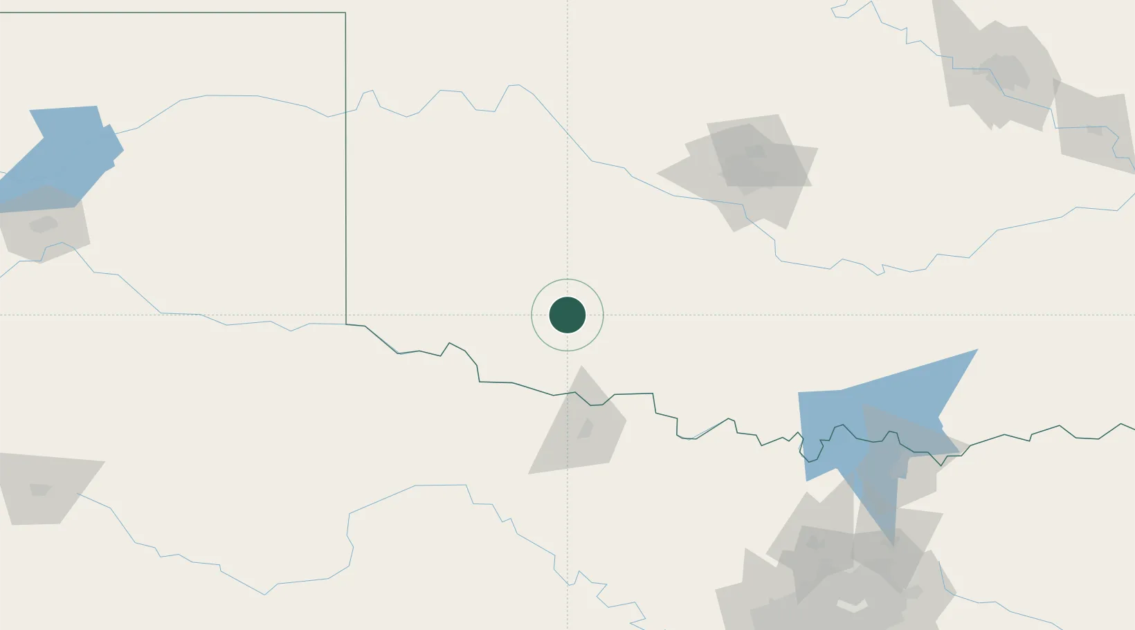
Place type
Populated place
Region
Oklahoma
Population
2,925
Time zone
America/Chicago
Elevation
387 m
Location
Nearby Logistics Neighbours
Cities
- 1Carnegie52 km
- 2Anadarko60 km
- 3Marlow63 km
- 4Rush Springs64 km
- 5Eakly75 km
Airports
Trade Zones
- 1FTZ No. 106 Oklahoma City137 km
- 2FTZ No. 039 Dallas Fort Worth217 km
- 3FTZ No. 227 Durant217 km
- 4FTZ No. 196 Fort Worth226 km
- 5FTZ No. 168 Dallas Fort Worth234 km
DatabookThe Record of Consolidated Knowledge
United States beyond logistics?