UN/LOCODE hub · United States
USRHP
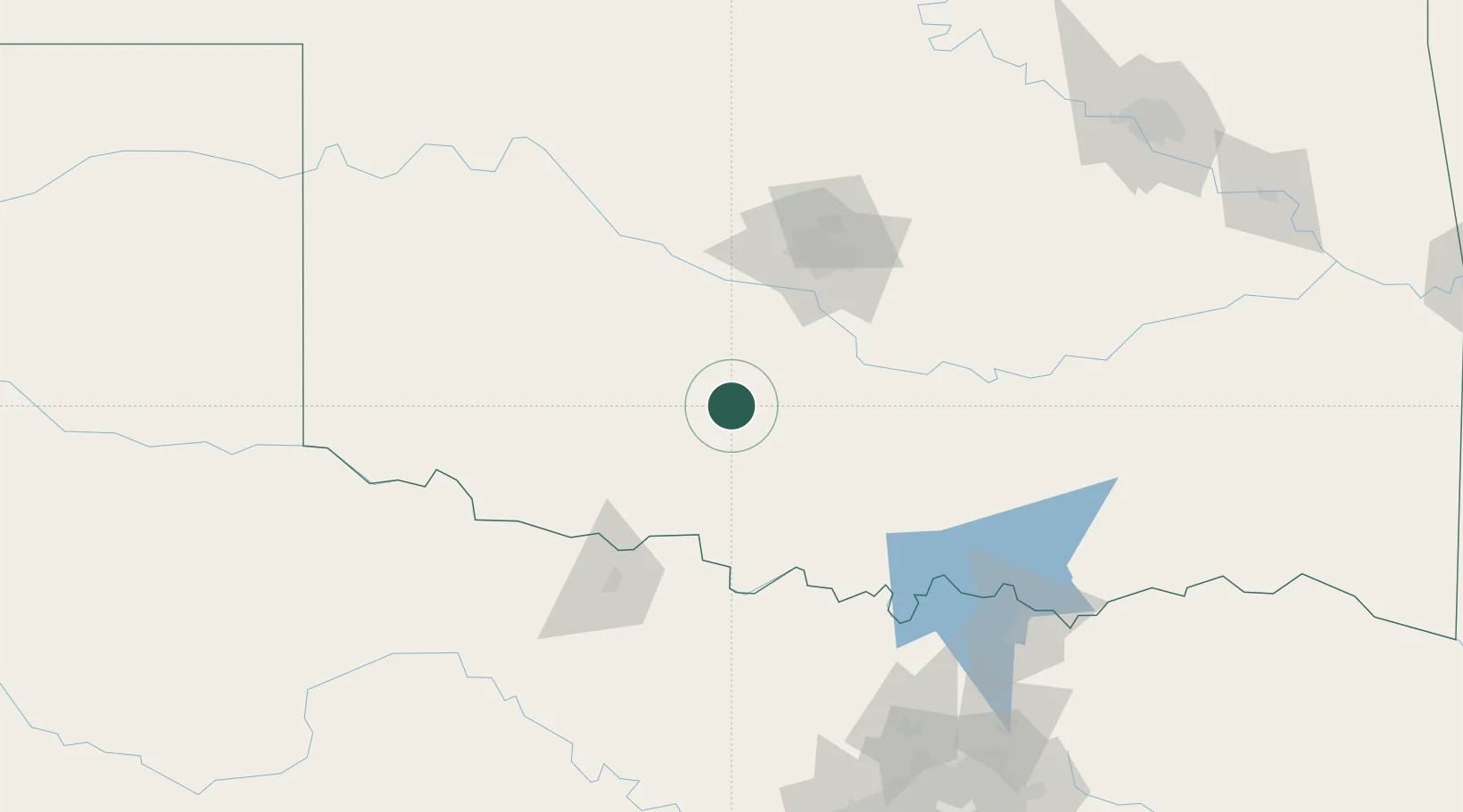
Rush Springs
34.7667°, -97.9500°
1,275
Population
2
Transport functions
Transport Functions
Rail
Road
Hub Profile
Place type
Populated place
Region
Oklahoma
Population
1,275
Time zone
America/Chicago
Elevation
412 m
Location
Nearby Logistics Neighbours
Airports
Trade Zones
- 1FTZ No. 106 Oklahoma City87 km
- 2FTZ No. 227 Durant166 km
- 3FTZ No. 196 Fort Worth221 km
- 4FTZ No. 039 Dallas Fort Worth226 km
- 5FTZ No. 168 Dallas Fort Worth229 km
DatabookThe Record of Consolidated Knowledge
United States beyond logistics?