UN/LOCODE hub · United States
USNKO
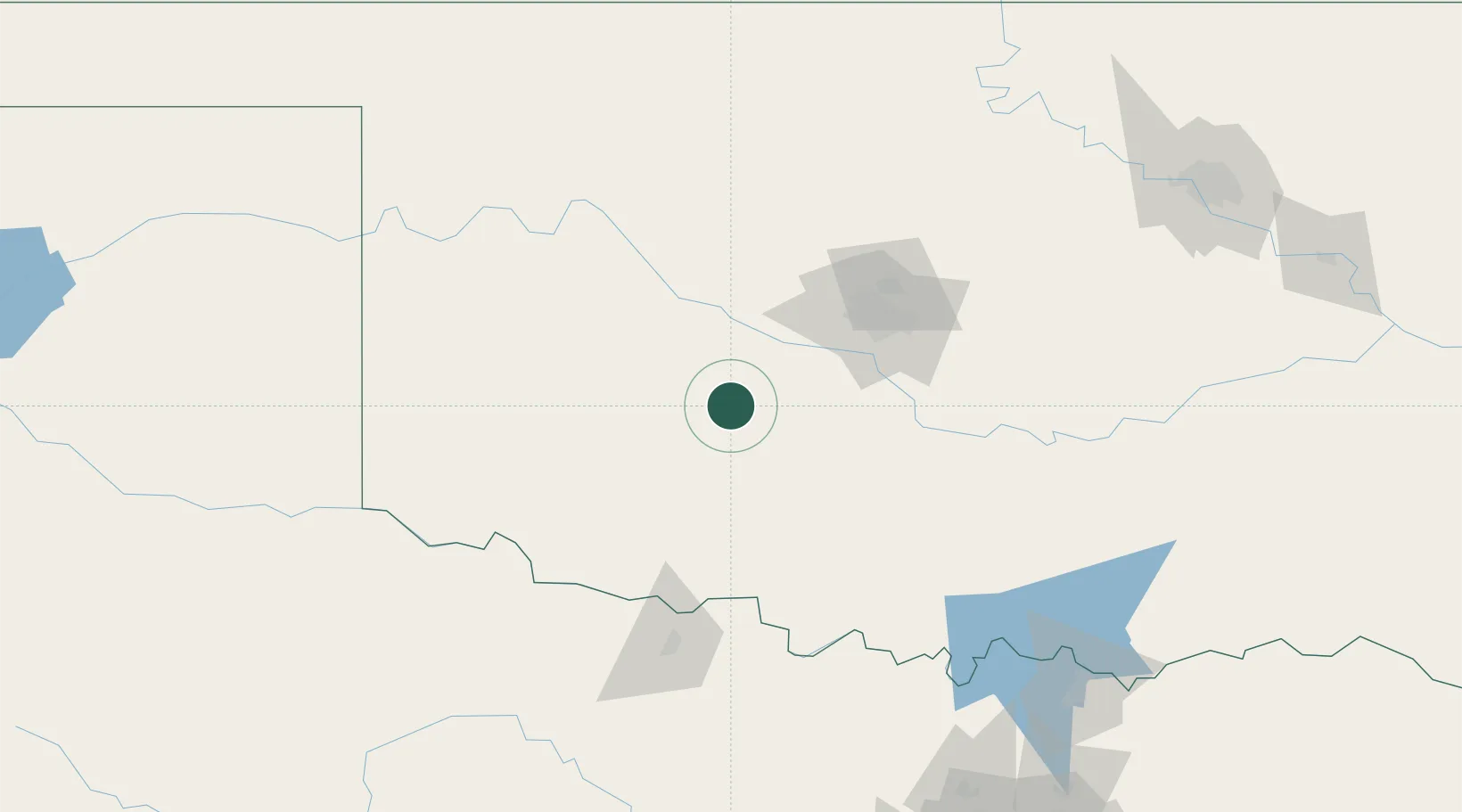
Anadarko
35.0667°, -98.2333°
6,717
Population
1
Transport functions
Transport Functions
Port
Hub Profile
Place type
Provincial seat
Region
Oklahoma
Population
6,717
Time zone
America/Chicago
Elevation
360 m
Location
Nearby Logistics Neighbours
Cities
- 1Carnegie34 km
- 2Eakly39 km
- 3Rush Springs42 km
- 4Marlow53 km
- 5El Reno56 km
Airports
Trade Zones
- 1FTZ No. 106 Oklahoma City79 km
- 2FTZ No. 227 Durant206 km
- 3FTZ No. 053 Rogers County257 km
- 4FTZ No. 039 Dallas Fort Worth259 km
- 5FTZ No. 196 Fort Worth259 km
DatabookThe Record of Consolidated Knowledge
United States beyond logistics?