Transport Functions
Port
Rail
Road
Multimodal
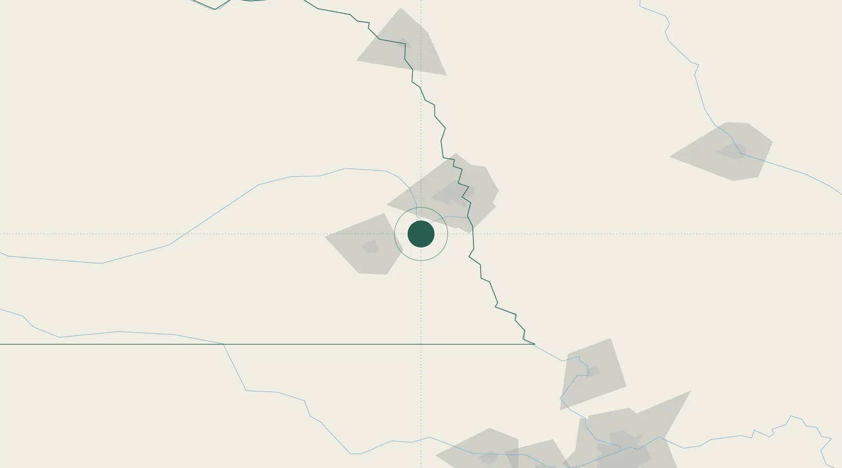
Hub Profile
Place type
Populated place
Region
Nebraska
Population
235
Time zone
America/Chicago
Elevation
390 m
Location
Nearby Logistics Neighbours
Airports
- 1Offutt Air Force Base38 km
- 2Lincoln Airport42 km
- 3Eppley Airfield53 km
- 4Columbus Municipal Airport108 km
- 5Karl Stefan Memorial Airport154 km
Trade Zones
- 1FTZ No. 059 Lincoln49 km
- 2FTZ No. 133 Quad-Cities, Iowa Illinois86 km
- 3FTZ No. 107 Polk County229 km
- 4FTZ No. 017 Kansas City236 km
- 5FTZ No. 288 Northwest Iowa250 km
DatabookThe Record of Consolidated Knowledge
United States beyond logistics?