UN/LOCODE hub · United States
USFRB
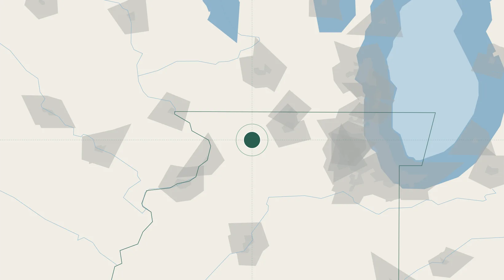
Forreston
42.1167°, -89.5667°
1,377
Population
3
Transport functions
Transport Functions
Rail
Road
Multimodal
Hub Profile
Place type
Populated place
Region
Illinois
Population
1,377
Time zone
America/Chicago
Elevation
286 m
Location
Nearby Logistics Neighbours
Cities
- 1Seward22 km
- 2Lanark22 km
- 3Milledgeville24 km
- 4Byron26 km
- 5Pecatonica27 km
Ports
- 1Great Lakes144 km
- 2Waukegan147 km
- 3Kenosha153 km
- 4Wilmette155 km
- 5Racine162 km
Airports
Trade Zones
- 1FTZ No. 176 Rockford33 km
- 2FTZ No. 271 Jo-Daviess and Carroll Counties60 km
- 3FTZ No. 266 Dane County107 km
- 4FTZ No. 292 Lake County140 km
- 5FTZ No. 022 Chicago144 km
DatabookThe Record of Consolidated Knowledge
United States beyond logistics?