UN/LOCODE hub · United States
USSGI
Sterling
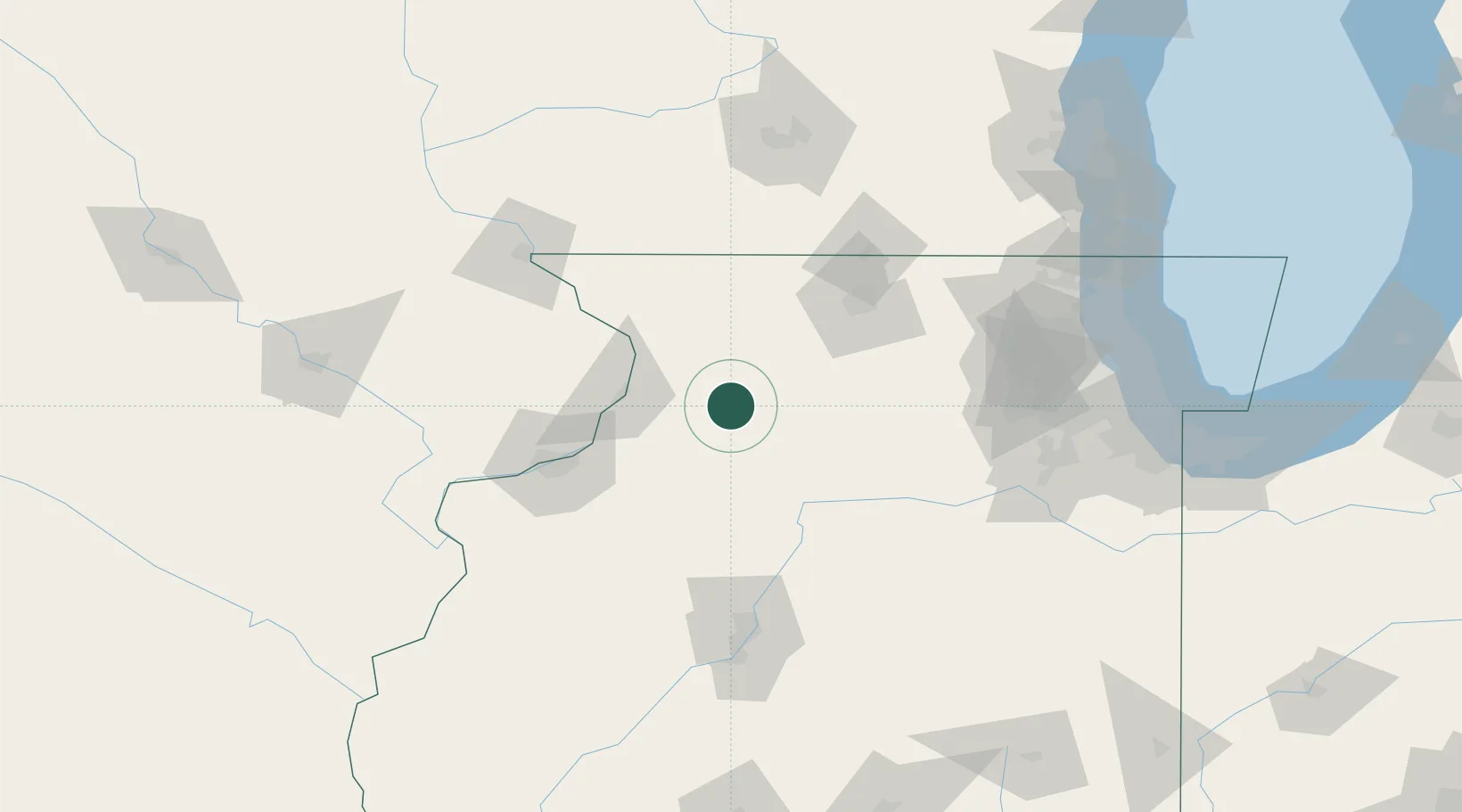
41.7833°, -89.6833°
15,057
Population
3
Transport functions
Transport Functions
Port
Rail
Road
Hub Profile
Place type
Populated place
Region
Illinois
Population
15,057
Time zone
America/Chicago
Elevation
201 m
Location
Nearby Logistics Neighbours
Cities
- 1Harmon18 km
- 2Milledgeville22 km
- 3Binghampton31 km
- 4Lanark37 km
- 5Forreston38 km
Ports
- 1Great Lakes163 km
- 2Waukegan167 km
- 3Wilmette169 km
- 4Chicago173 km
- 5Kenosha178 km
Airports
Trade Zones
- 1FTZ No. 176 Rockford65 km
- 2FTZ No. 271 Jo-Daviess and Carroll Counties75 km
- 3FTZ No. 114 Peoria121 km
- 4FTZ No. 266 Dane County143 km
- 5FTZ No. 022 Chicago150 km
DatabookThe Record of Consolidated Knowledge
United States beyond logistics?