UN/LOCODE hub · United States
USQLB
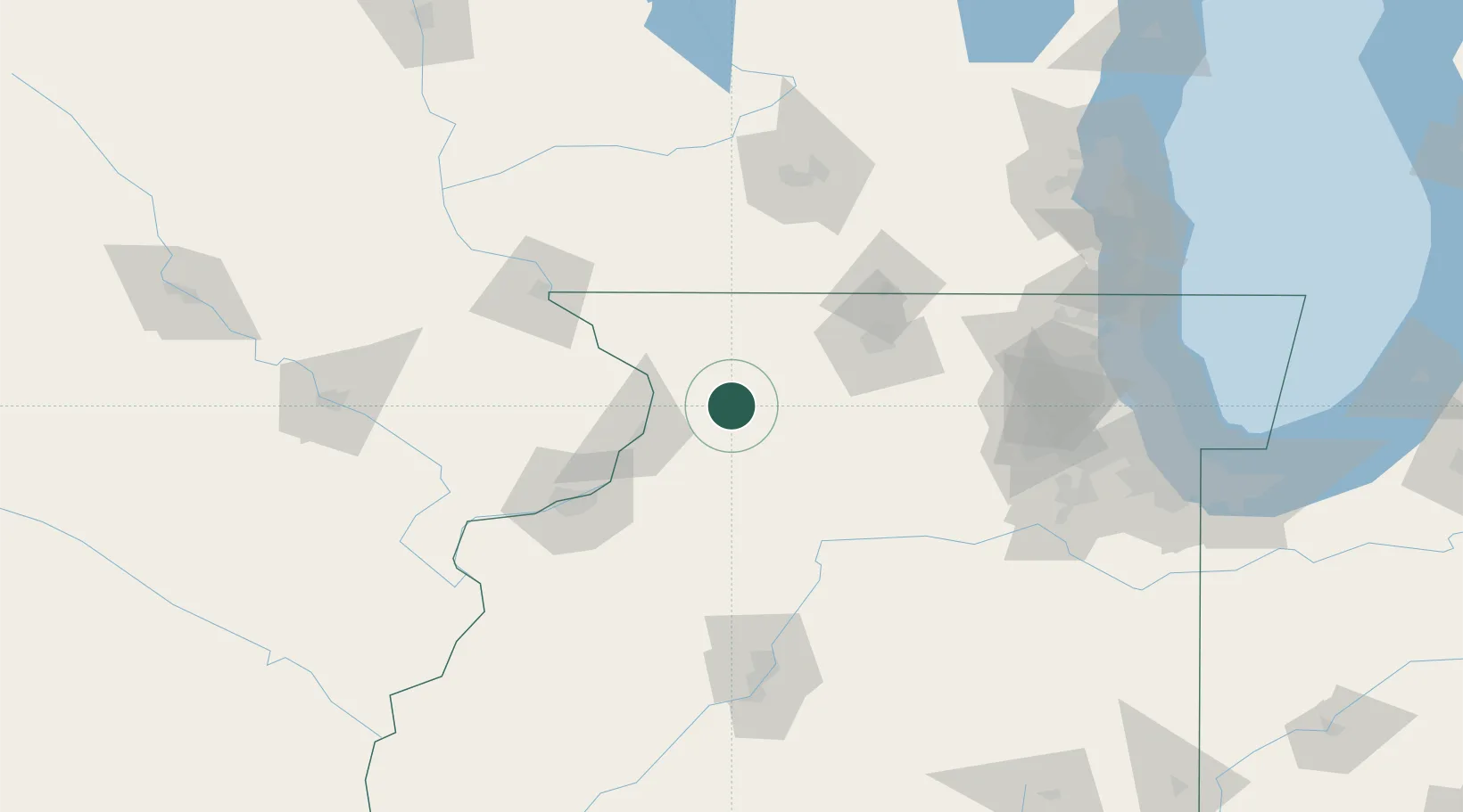
Milledgeville
41.9667°, -89.7667°
983
Population
2
Transport functions
Transport Functions
Rail
Road
Hub Profile
Place type
Populated place
Region
Illinois
Population
983
Time zone
America/Chicago
Elevation
232 m
Location
Nearby Logistics Neighbours
Ports
- 1Great Lakes164 km
- 2Waukegan167 km
- 3Wilmette173 km
- 4Kenosha175 km
- 5Chicago180 km
Airports
Trade Zones
- 1FTZ No. 271 Jo-Daviess and Carroll Counties55 km
- 2FTZ No. 176 Rockford56 km
- 3FTZ No. 266 Dane County123 km
- 4FTZ No. 114 Peoria142 km
- 5FTZ No. 022 Chicago158 km
DatabookThe Record of Consolidated Knowledge
United States beyond logistics?