UN/LOCODE hub · United States
USMH4
Mount Horeb
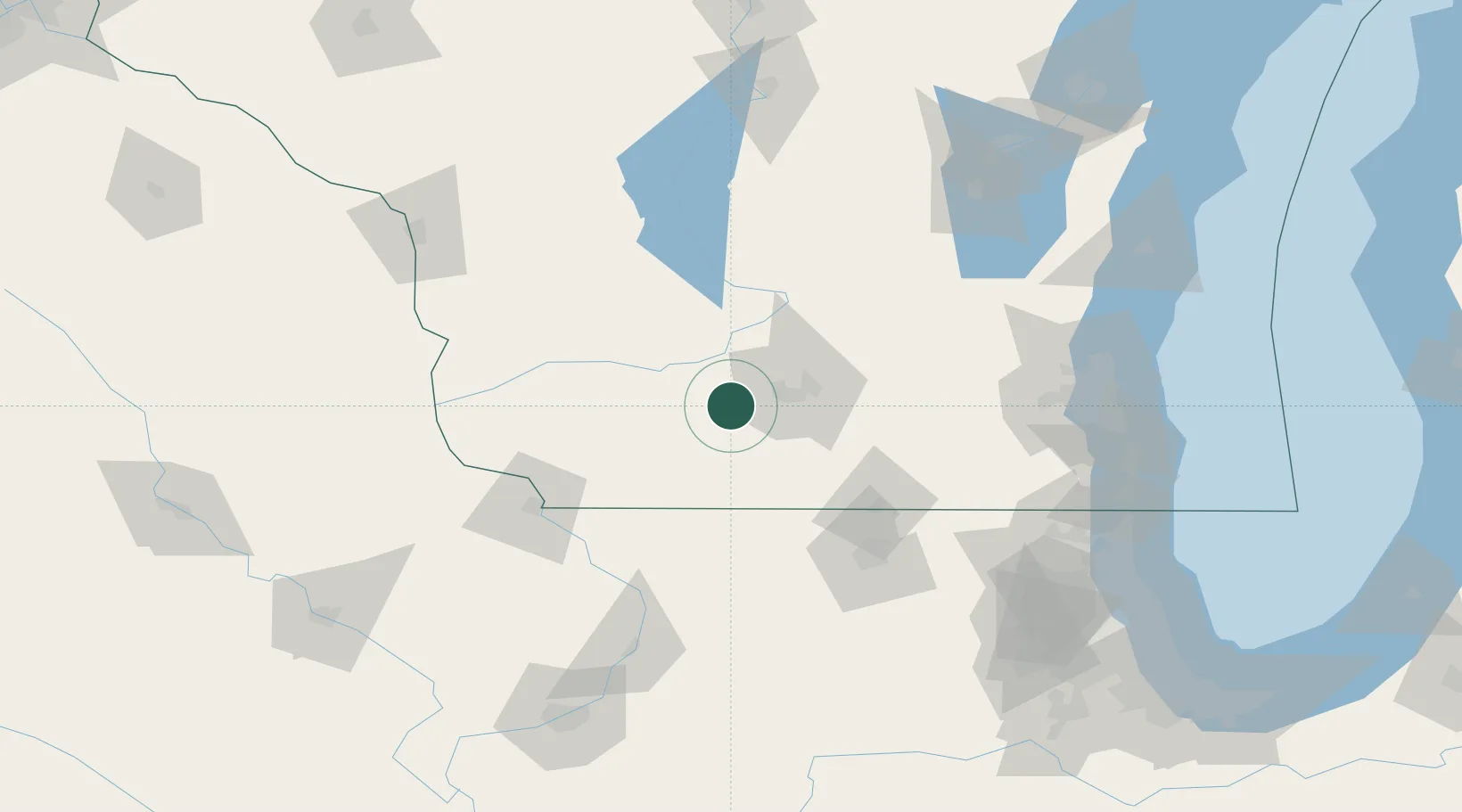
43.0000°, -89.7333°
7,421
Population
2
Transport functions
Transport Functions
Rail
Road
Hub Profile
Place type
Populated place
Region
Wisconsin
Population
7,421
Time zone
America/Chicago
Elevation
380 m
Location
Nearby Logistics Neighbours
Cities
- 1Verona16 km
- 2Mazomanie19 km
- 3Belleville23 km
- 4Oregon29 km
- 5Sauk City30 km
Ports
- 1Milwaukee150 km
- 2Port Washington157 km
- 3Racine162 km
- 4Kenosha163 km
- 5Waukegan172 km
Airports
- 1Dane County Regional Truax Field36 km
- 2Chicago Rockford International Airport104 km
- 3Dubuque Regional Airport104 km
- 4Volk Field113 km
- 5Wittman Regional Airport145 km
Trade Zones
DatabookThe Record of Consolidated Knowledge
United States beyond logistics?