Transport Functions
Multimodal
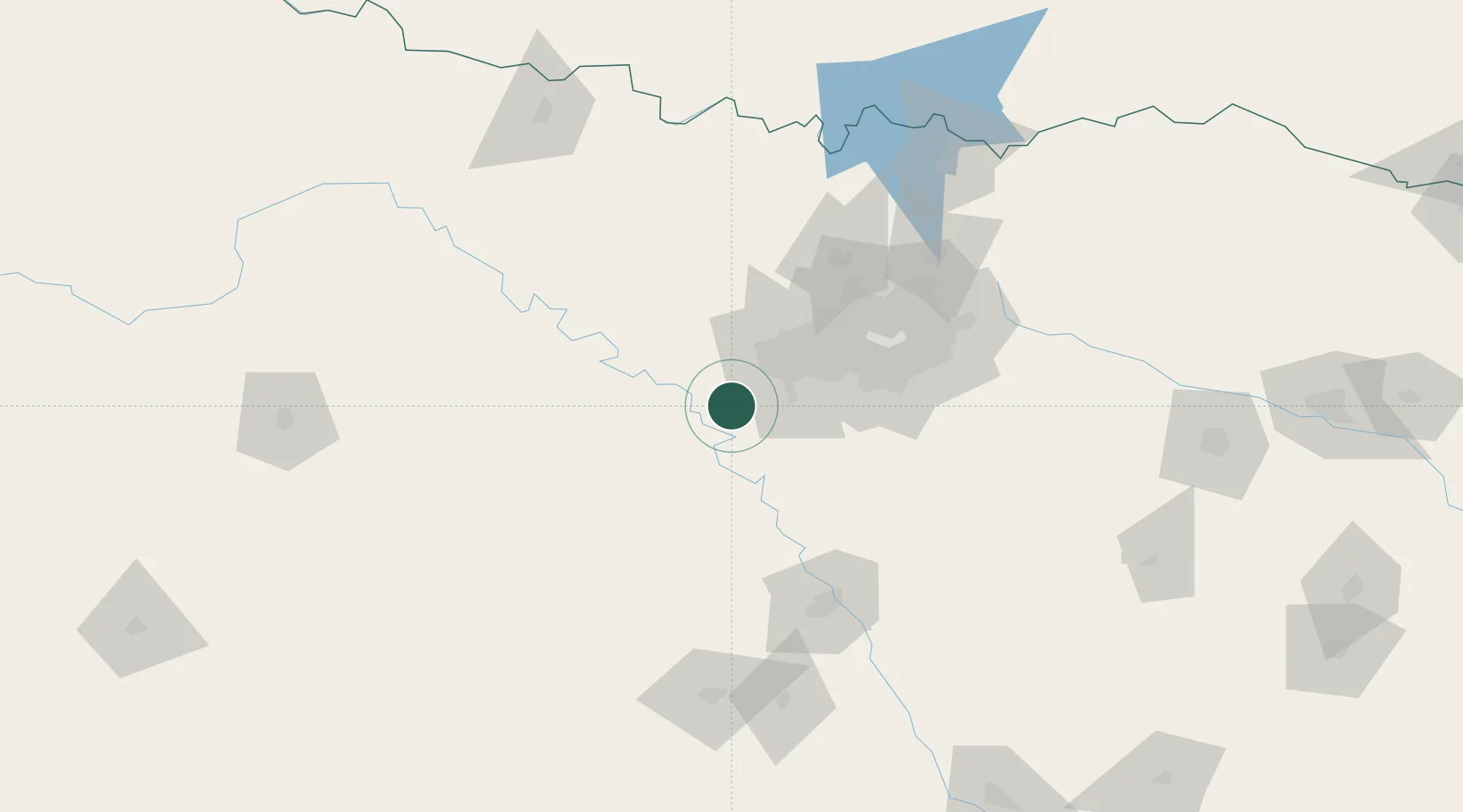
Hub Profile
Place type
Populated place
Region
Texas
Population
788
Time zone
America/Chicago
Elevation
321 m
Location
Nearby Logistics Neighbours
Cities
- 1Fairview17 km
- 2Aledo20 km
- 3Joshua23 km
- 4Willow Park26 km
- 5Keene32 km
Airports
Trade Zones
- 1FTZ No. 168 Dallas Fort Worth27 km
- 2FTZ No. 196 Fort Worth32 km
- 3FTZ No. 039 Dallas Fort Worth50 km
- 4FTZ No. 113 Ellis County61 km
- 5FTZ No. 246 Waco112 km
DatabookThe Record of Consolidated Knowledge
United States beyond logistics?