Transport Functions
Multimodal
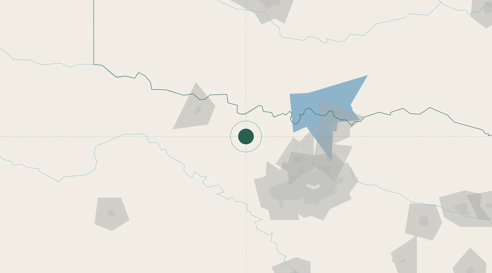
Hub Profile
Place type
Populated place
Region
Texas
Population
5,126
Time zone
America/Chicago
Elevation
344 m
Location
Nearby Logistics Neighbours
Cities
- 1Bridgeport38 km
- 2Decatur42 km
- 3Muenster45 km
- 4Paradise47 km
- 5Jacksboro48 km
Airports
Trade Zones
- 1FTZ No. 196 Fort Worth87 km
- 2FTZ No. 039 Dallas Fort Worth93 km
- 3FTZ No. 168 Dallas Fort Worth94 km
- 4FTZ No. 227 Durant142 km
- 5FTZ No. 113 Ellis County159 km
DatabookThe Record of Consolidated Knowledge
United States beyond logistics?