Transport Functions
Road
Multimodal
Hub Profile
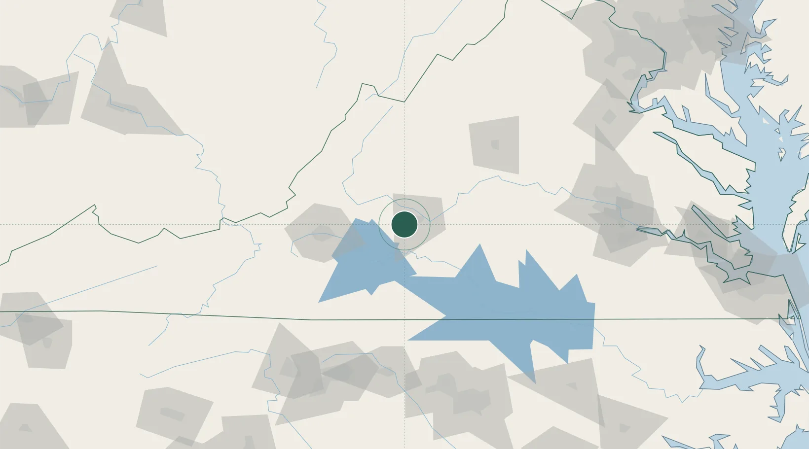
Place type
Populated place
Region
Virginia
Population
9,106
Time zone
America/New_York
Elevation
269 m
Location
Nearby Logistics Neighbours
Cities
- 1Lawyers10 km
- 2Madison Heights17 km
- 3Monroe20 km
- 4Glasgow33 km
- 5Moneta36 km
Ports
- 1Richmond166 km
- 2Fredericksburg192 km
- 3West Point220 km
- 4Yorktown247 km
- 5Alexandria253 km
Airports
Trade Zones
- 1FTZ No. 238 Dublin129 km
- 2FTZ No. 230 Piedmont Triad Area152 km
- 3FTZ No. 207 Richmond153 km
- 4FTZ No. 185 Culpeper County166 km
- 5FTZ No. 093 Raleigh Durham166 km
DatabookThe Record of Consolidated Knowledge
United States beyond logistics?