UN/LOCODE hub · United States
USMQ5
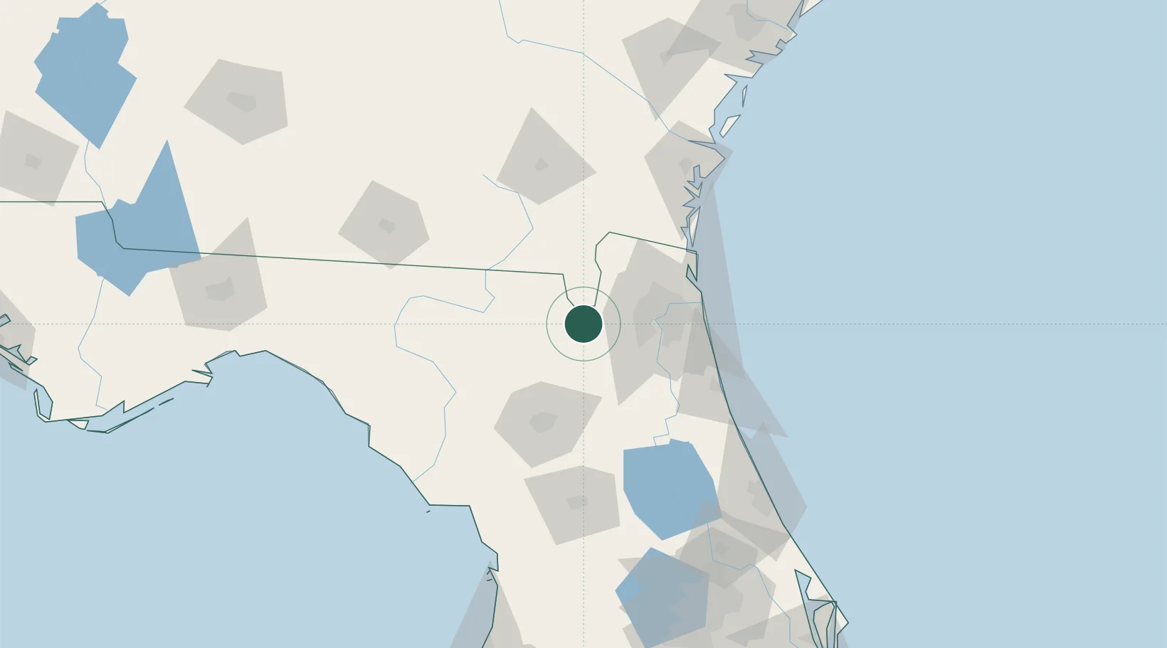
Macclenny
30.2667°, -82.1167°
6,487
Population
2
Transport functions
Transport Functions
Road
Multimodal
Hub Profile
Place type
Provincial seat
Region
Florida
Population
6,487
Time zone
America/New_York
Elevation
40 m
Location
Nearby Logistics Neighbours
Cities
- 1Raiford27 km
- 2Marietta33 km
- 3Callahan43 km
- 4Fleming Island44 km
- 5Mobile46 km
Ports
- 1Jacksonville45 km
- 2Mayport67 km
- 3Fernandina Beach78 km
- 4St Augustine87 km
- 5Brunswick115 km
Airports
Trade Zones
- 1FTZ No. 064 Jacksonville17 km
- 2FTZ No. 144 Brunswick115 km
- 3FTZ No. 198 Volusia County153 km
- 4FTZ No. 250 Seminole County184 km
- 5FTZ No. 042 Orlando207 km
DatabookThe Record of Consolidated Knowledge
United States beyond logistics?