Transport Functions
Rail
Road
Hub Profile
Place type
Populated place
Region
Virginia
Time zone
America/New_York
Elevation
44 m
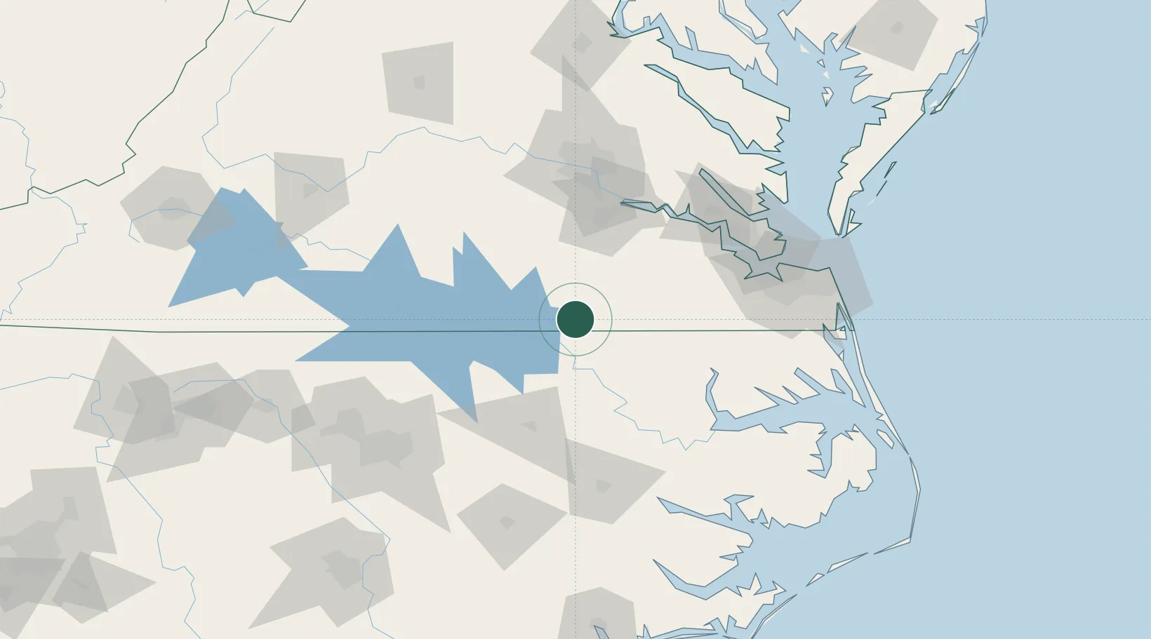
Location
Nearby Logistics Neighbours
Ports
- 1Richmond103 km
- 2Edenton105 km
- 3Newport News107 km
- 4Hertford108 km
- 5Plymouth110 km
Airports
Trade Zones
- 1FTZ No. 020 Suffolk93 km
- 2FTZ No. 207 Richmond101 km
- 3FTZ No. 093 Raleigh Durham145 km
- 4FTZ No. 214 Lenoir County159 km
- 5FTZ No. 185 Culpeper County215 km
DatabookThe Record of Consolidated Knowledge
United States beyond logistics?