UN/LOCODE hub · United States
USXZV
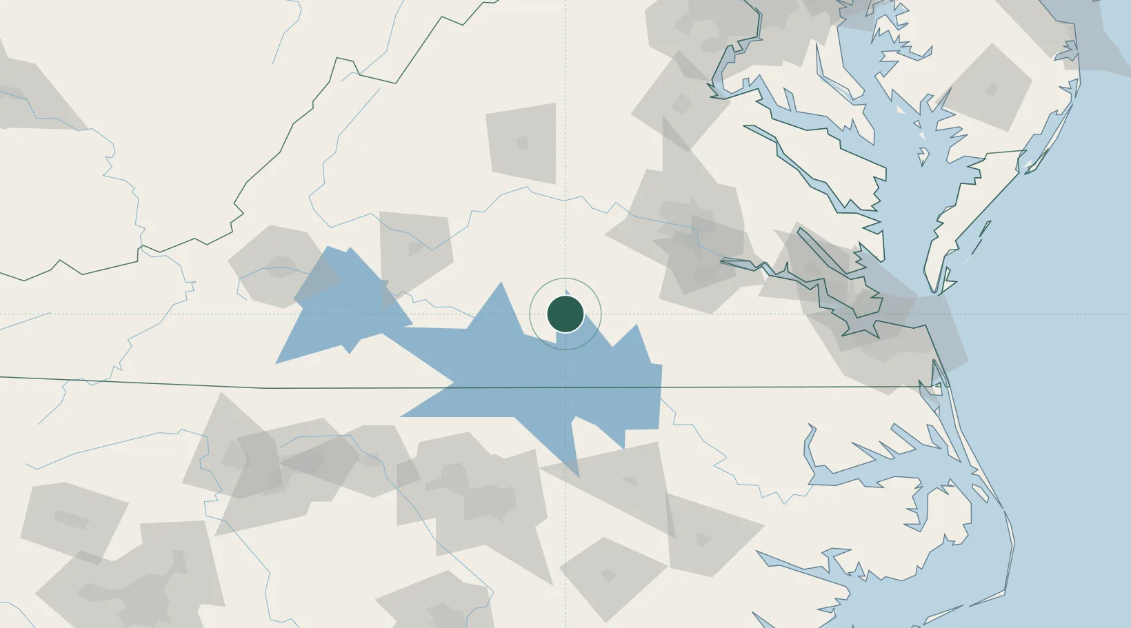
Victoria
37.0000°, -78.2333°
1,677
Population
2
Transport functions
Transport Functions
Rail
Road
Hub Profile
Place type
Populated place
Region
Virginia
Population
1,677
Time zone
America/New_York
Elevation
179 m
Location
Nearby Logistics Neighbours
Cities
- 1Crewe21 km
- 2Keysville23 km
- 3Jetersville35 km
- 4La Crosse36 km
- 5Prospect44 km
Ports
- 1Richmond94 km
- 2West Point140 km
- 3Yorktown156 km
- 4Newport News160 km
- 5Fredericksburg160 km
Airports
Trade Zones
- 1FTZ No. 207 Richmond83 km
- 2FTZ No. 093 Raleigh Durham136 km
- 3FTZ No. 020 Suffolk147 km
- 4FTZ No. 185 Culpeper County168 km
- 5FTZ No. 230 Piedmont Triad Area193 km
DatabookThe Record of Consolidated Knowledge
United States beyond logistics?