Transport Functions
Rail
Road
Multimodal
Hub Profile
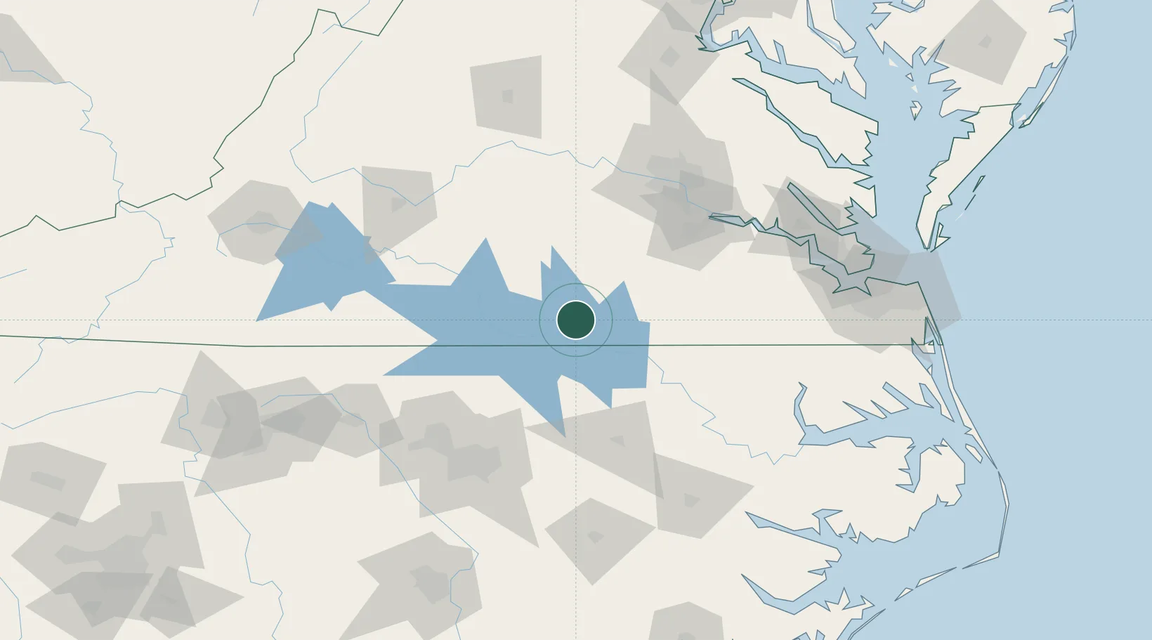
Place type
Populated place
Region
Virginia
Population
589
Time zone
America/New_York
Elevation
145 m
Location
Nearby Logistics Neighbours
Cities
- 1Victoria36 km
- 2Middleburg41 km
- 3McKenney45 km
- 4Skippers49 km
- 5Keysville51 km
Ports
- 1Richmond110 km
- 2West Point147 km
- 3Newport News150 km
- 4Edenton150 km
- 5Plymouth151 km
Airports
Trade Zones
- 1FTZ No. 207 Richmond103 km
- 2FTZ No. 093 Raleigh Durham115 km
- 3FTZ No. 020 Suffolk136 km
- 4FTZ No. 214 Lenoir County166 km
- 5FTZ No. 230 Piedmont Triad Area193 km
DatabookThe Record of Consolidated Knowledge
United States beyond logistics?