UN/LOCODE hub · United States
USC3B
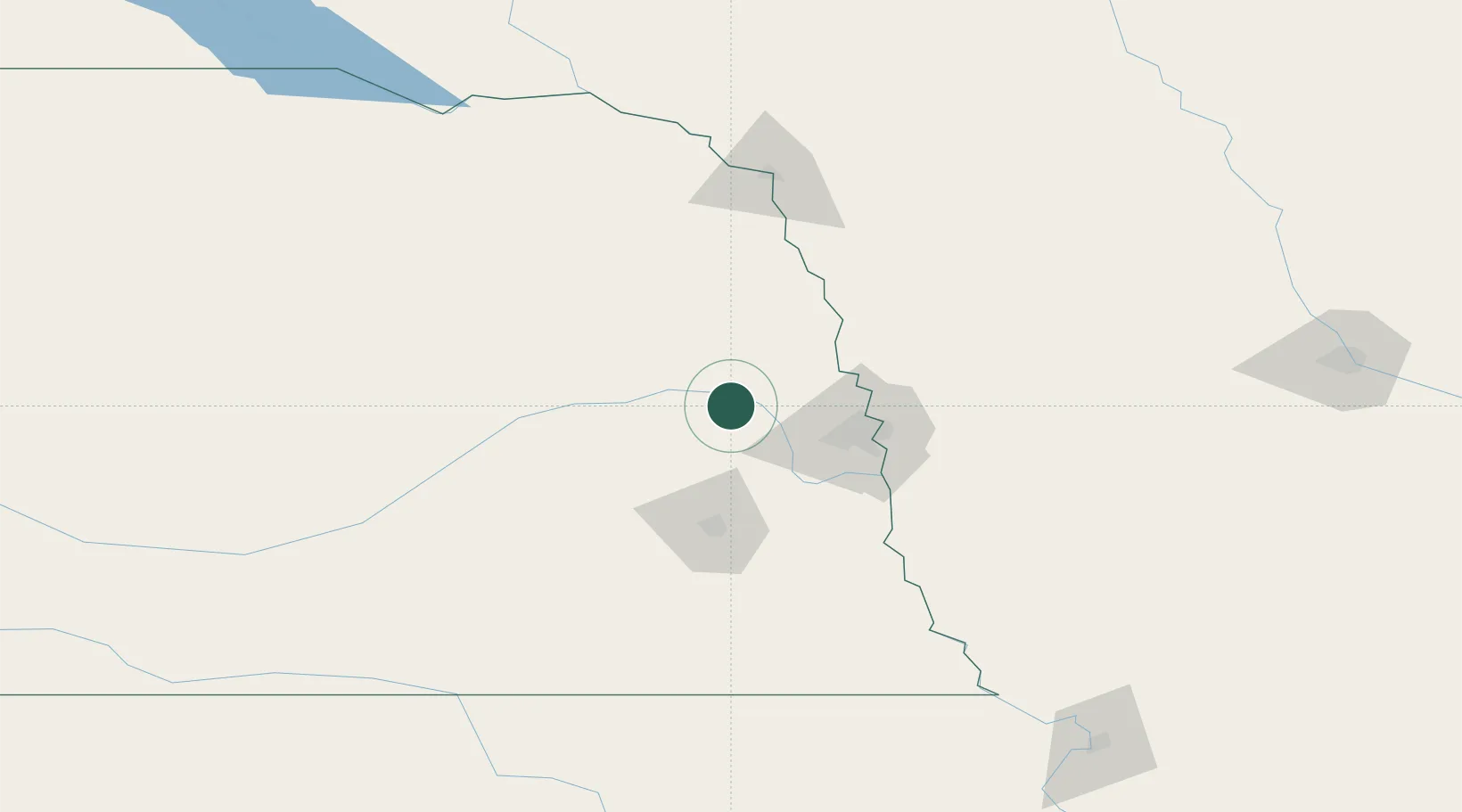
Cedar Bluffs
41.3833°, -96.6000°
595
Population
1
Transport functions
Transport Functions
Port
Hub Profile
Place type
Populated place
Region
Nebraska
Population
595
Time zone
America/Chicago
Elevation
398 m
Location
Nearby Logistics Neighbours
Cities
- 1Morse Bluff15 km
- 2North Bend18 km
- 3Mead19 km
- 4Wahoo20 km
- 5Yutan25 km
Ports
- 1Superior696 km
- 2Duluth698 km
- 3Ashland739 km
- 4Two Harbors740 km
- 5Washburn744 km
Airports
- 1Eppley Airfield60 km
- 2Lincoln Airport61 km
- 3Columbus Municipal Airport62 km
- 4Offutt Air Force Base65 km
- 5Karl Stefan Memorial Airport96 km
Trade Zones
- 1FTZ No. 059 Lincoln68 km
- 2FTZ No. 133 Quad-Cities, Iowa Illinois139 km
- 3FTZ No. 288 Northwest Iowa203 km
- 4FTZ No. 220 Sioux Falls242 km
- 5FTZ No. 107 Polk County243 km
DatabookThe Record of Consolidated Knowledge
United States beyond logistics?