Transport Functions
Rail
Road
Hub Profile
Place type
Populated place
Region
West Virginia
Population
164
Time zone
America/New_York
Elevation
501 m
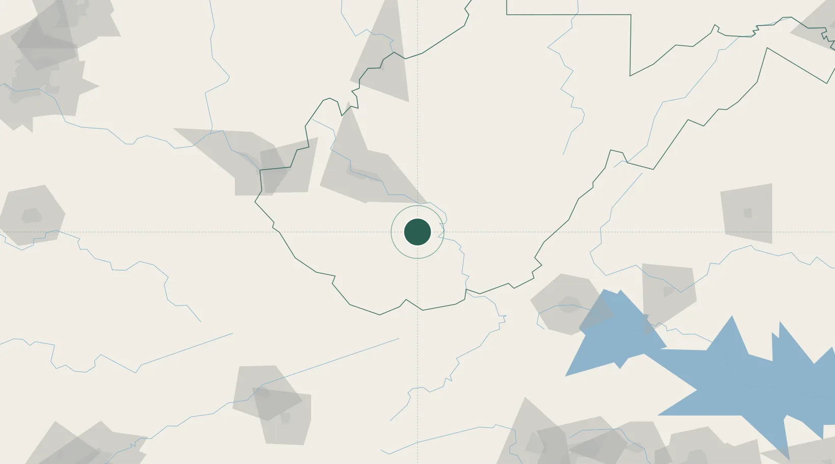
Location
Nearby Logistics Neighbours
Ports
- 1Fredericksburg337 km
- 2Richmond341 km
- 3Alexandria382 km
- 4Washington D.C.384 km
- 5West Point395 km
Airports
Trade Zones
- 1FTZ No. 229 Charleston63 km
- 2FTZ No. 238 Dublin102 km
- 3FTZ No. 204 Tri-Cities187 km
- 4FTZ No. 230 Piedmont Triad Area215 km
- 5FTZ No. 138 Franklin County258 km
DatabookThe Record of Consolidated Knowledge
United States beyond logistics?