UN/LOCODE hub · United States
USOTE
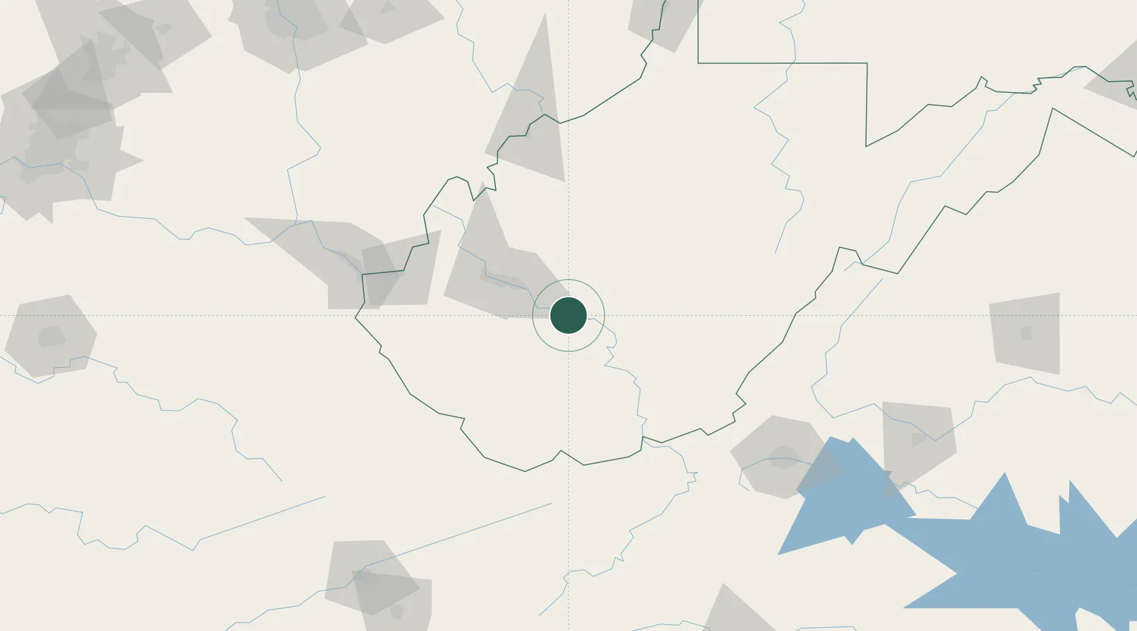
Montgomery
38.1667°, -81.3167°
1,596
Population
3
Transport functions
Transport Functions
Rail
Road
Multimodal
Hub Profile
Place type
Populated place
Region
West Virginia
Population
1,596
Time zone
America/New_York
Elevation
194 m
Location
Nearby Logistics Neighbours
Cities
- 1Shrewsbury14 km
- 2Eskdale15 km
- 3Rand23 km
- 4Salem27 km
- 5Pax30 km
Ports
- 1Fredericksburg338 km
- 2Richmond350 km
- 3Cleveland372 km
- 4Vermilion374 km
- 5Lorain374 km
Airports
Trade Zones
- 1FTZ No. 229 Charleston40 km
- 2FTZ No. 238 Dublin131 km
- 3FTZ No. 204 Tri-Cities211 km
- 4FTZ No. 138 Franklin County231 km
- 5FTZ No. 230 Piedmont Triad Area243 km
DatabookThe Record of Consolidated Knowledge
United States beyond logistics?