Medium airport · United States
Tyler Pounds Regional AirportKTYR
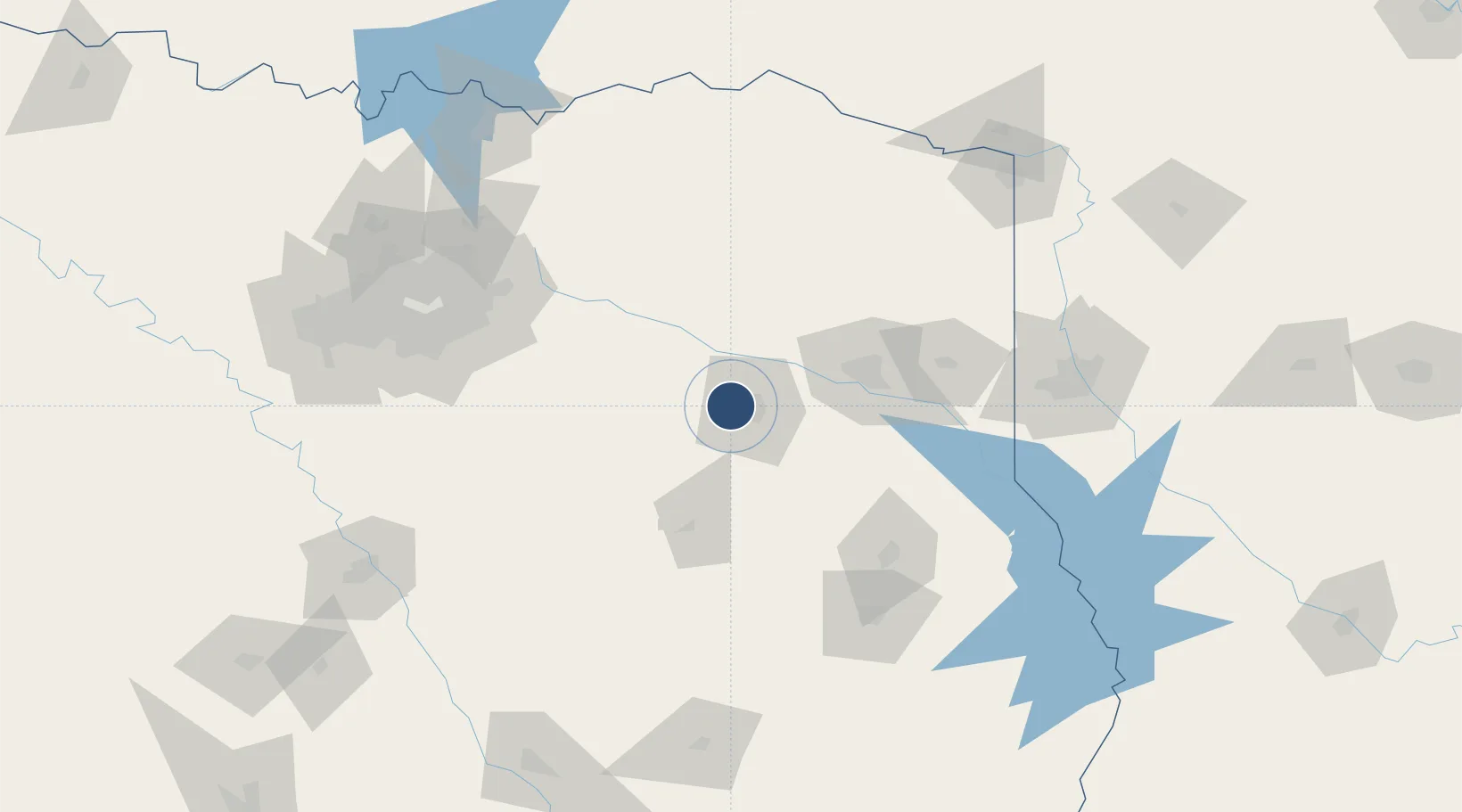
32.3541°, -95.4024°
8,334 ft
Longest runway
3
Runways
544 ft
Elevation
Runway & Layout

Radio Frequencies
ATIS
126.25 MHz
TWR
120.1 MHz
GND
121.9 MHz
CTAF
120.1 MHz
A/D
128.75 MHz
LONGVIEW APP/DEP
RDO
122.3 MHz
FORT WORTH RDO
UNIC
122.95 MHz
UNICOM
Navaids
TY NDB Indoo 320 kHz
TYR VOR-DME Tyler 114.20 MHz
Runways · 3
| Runway | Dimensions | Surface | True heading | Lit |
|---|---|---|---|---|
| 04/22 | 8,334 × 150ft | Asphalt | 045° | ✓ |
| 13/31 | 5,198 × 150ft | Asphalt | 135° | ✓ |
| 18/36 | 4,832 × 150ft | Asphalt | 180° | ✓ |
Airport Specifications
IATA code
TYR
ICAO code
KTYR
Airport class
Medium airport
Scheduled service
Yes
Runway surface
Asphalt
Served city
Tyler
Location
Nearby Logistics Neighbours
Airports
- 1East Texas Regional Airport65 km
- 2Van Zandt County Regional Airport66 km
- 3Angelina County Airport139 km
- 4Mid-Way Regional Airport142 km
- 5Cox Field143 km
Trade Zones
- 1FTZ No. 234 Gregg County48 km
- 2FTZ No. 269 Athens49 km
- 3FTZ No. 297 Lufkin128 km
- 4FTZ No. 145 Shreveport137 km
- 5FTZ No. 146 Lawrence County137 km
DatabookThe Record of Consolidated Knowledge
United States beyond logistics?