Foreign Trade Zone · United States

FTZ No. 234 Gregg County Active
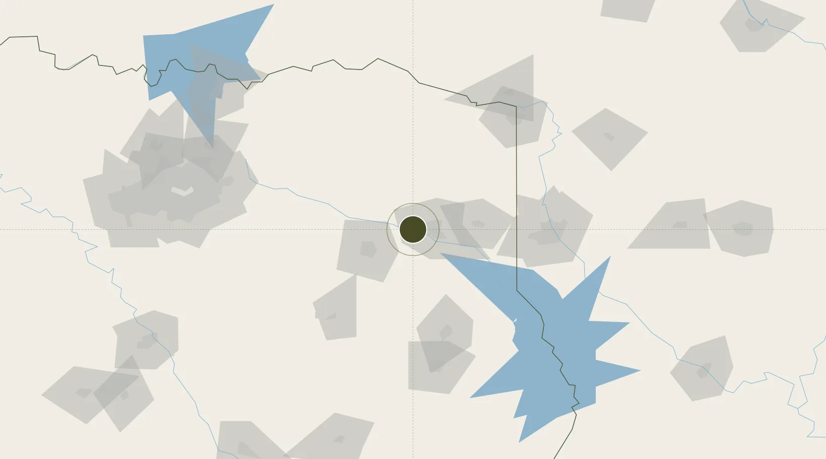
32.5137°, -94.9233°
281.8 km
Nearest port
24.6 km
Nearest airport

Gateway access

Nearest neighbours — logibook spatial index (haversine) over the source coordinates

Zone profile

Zone type
Foreign Trade Zone
Open Zone Map
Region
Texas
Open Zone Map
Status
Active
Open Zone Map
Management
Public
Open Zone Map
Operator
Gregg County
Open Zone Map
Legal framework
Foreign-Trade Zones Act
Open Zone Map

Location

Location of ozm-4841
Natural Earth 10m (public domain) · Texas · ozm-4841 · 32.51, -94.92GoogleOSMYandex

Nearby Logistics Neighbours

Ports
  1. 1Beaumont282 km
  2. 2Orange293 km
  3. 3Port Neches294 km
  4. 4Lake Charles301 km
  5. 5Houston309 km
Nearest neighbours — logibook spatial index (haversine) over the source coordinates
Airports
  1. 1East Texas Regional Airport25 km
  2. 2Tyler Pounds Regional Airport48 km
  3. 3Van Zandt County Regional Airport101 km
  4. 4Shreveport Regional Airport103 km
  5. 5Barksdale Air Force Base118 km
Nearest neighbours — logibook spatial index (haversine) over the source coordinates
Cities
  1. 1Hawkins27 km
  2. 2Overton30 km
  3. 3Leesburg54 km
  4. 4Webster58 km
  5. 5Jefferson61 km
Nearest neighbours — logibook spatial index (haversine) over the source coordinates
Trade Zones
  1. 1FTZ No. 145 Shreveport91 km
  2. 2FTZ No. 146 Lawrence County91 km
  3. 3FTZ No. 269 Athens97 km
  4. 4FTZ No. 258 Bowie County110 km
  5. 5FTZ No. 297 Lufkin133 km
Nearest neighbours — logibook spatial index (haversine) over the source coordinates
DatabookThe Record of Consolidated Knowledge
United States beyond logistics?
Browse databook

All Sources

Trade ZonesOpen Zone Map
CC BY
Portsthe NGA World Port Index
Public domain (US gov)
AirportsOurAirports
Public domain
LocationsUN/LOCODE
UN/LOCODE — free
← United States trade zones