Transport Functions
Road
Multimodal
Hub Profile
Place type
Populated place
Region
Texas
Time zone
America/Chicago
Elevation
111 m
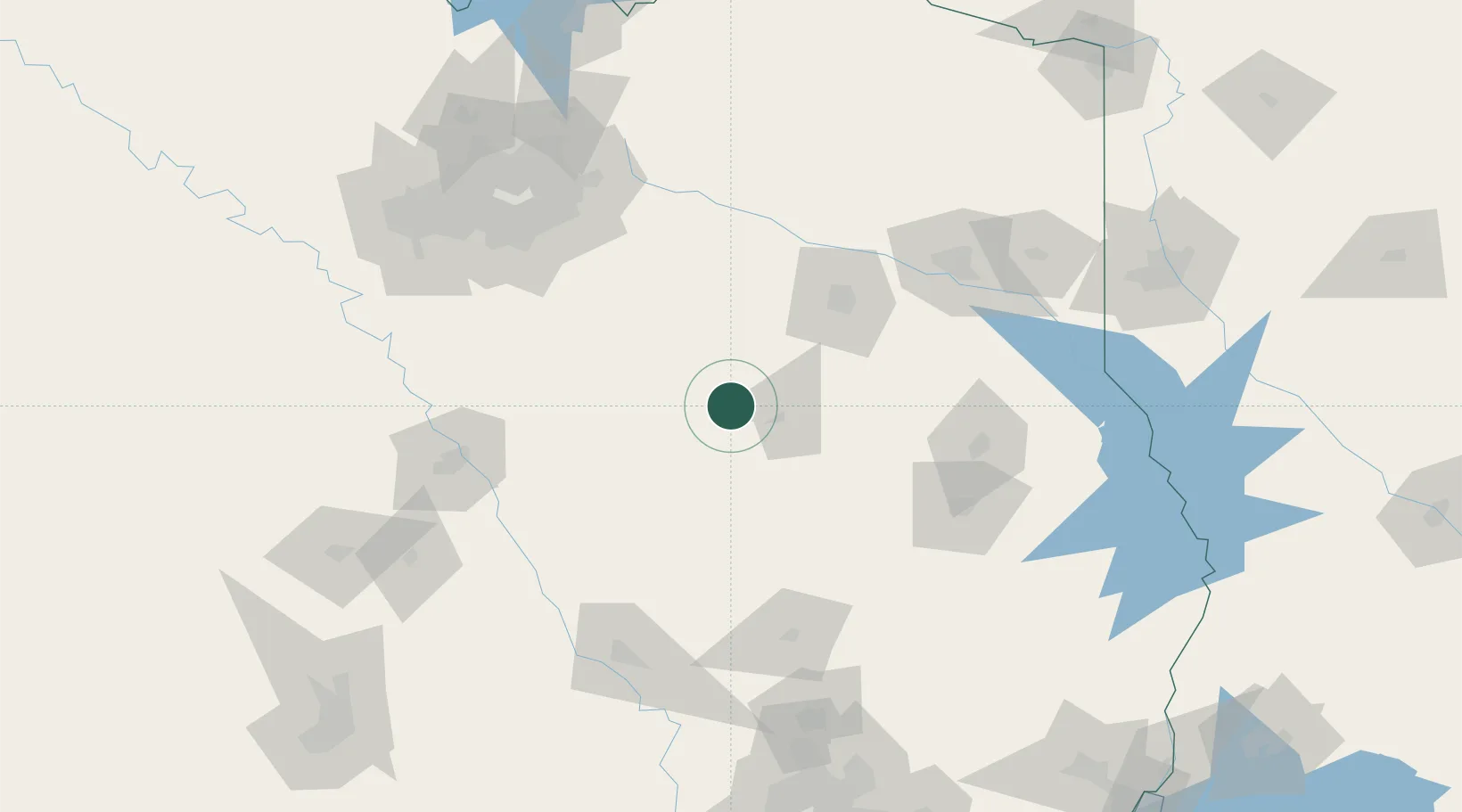
Location
Nearby Logistics Neighbours
Cities
- 1Malakoff40 km
- 2Malvern57 km
- 3Seven Points64 km
- 4Mabank64 km
- 5Gallatin66 km
Airports
Trade Zones
- 1FTZ No. 269 Athens41 km
- 2FTZ No. 297 Lufkin114 km
- 3FTZ No. 234 Gregg County114 km
- 4FTZ No. 113 Ellis County123 km
- 5FTZ No. 246 Waco138 km
DatabookThe Record of Consolidated Knowledge
United States beyond logistics?