Transport Functions
Multimodal
Hub Profile
Place type
Populated place
Region
Texas
Population
421
Time zone
America/Chicago
Elevation
123 m
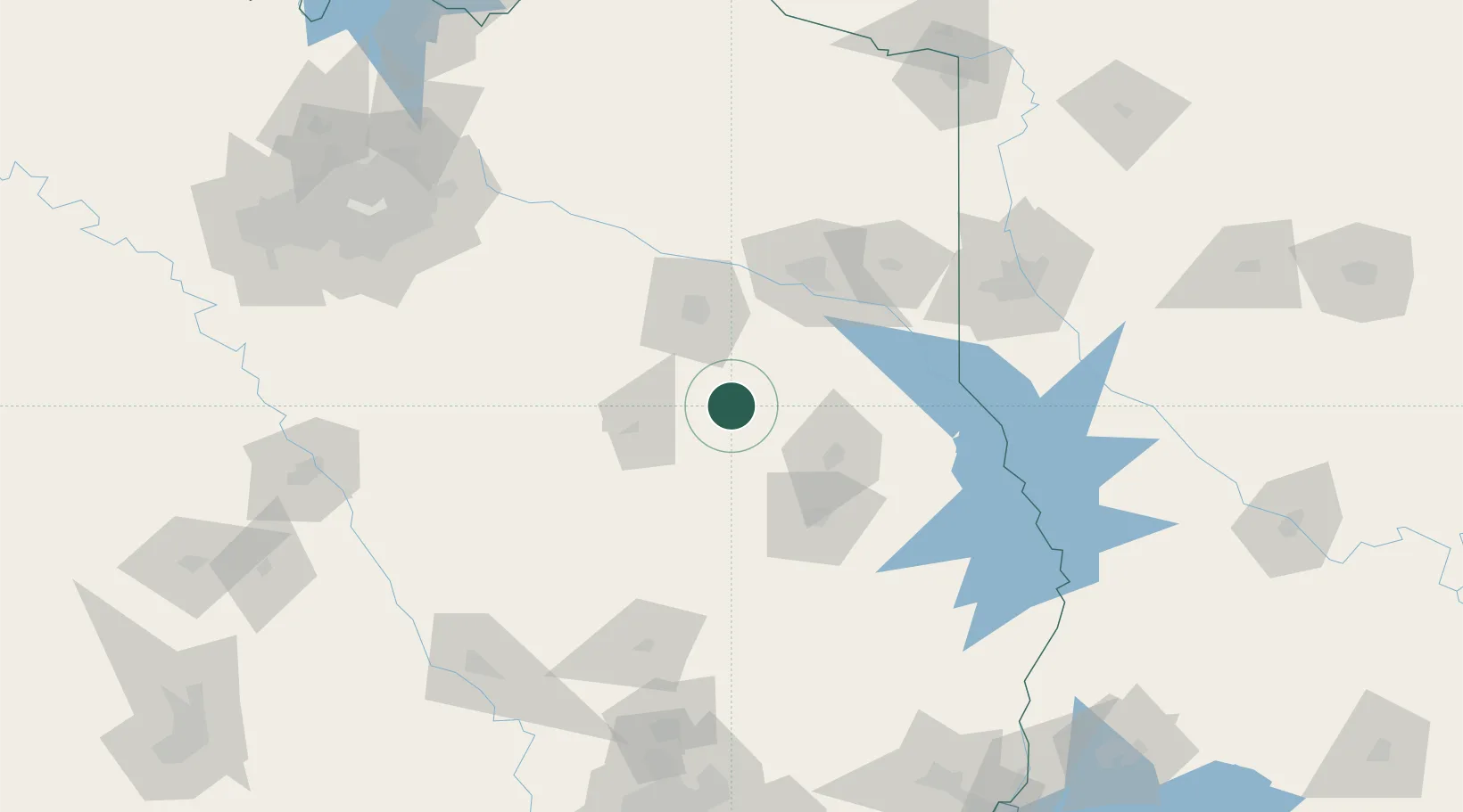
Location
Nearby Logistics Neighbours
Cities
- 1Cushing30 km
- 2Overton43 km
- 3Tennessee Colony66 km
- 4Timpson71 km
- 5Gary74 km
Ports
- 1Beaumont224 km
- 2Houston238 km
- 3Port Neches238 km
- 4Deer Park238 km
- 5Baytown239 km
Airports
Trade Zones
- 1FTZ No. 297 Lufkin70 km
- 2FTZ No. 234 Gregg County73 km
- 3FTZ No. 269 Athens79 km
- 4FTZ No. 145 Shreveport128 km
- 5FTZ No. 146 Lawrence County128 km
DatabookThe Record of Consolidated Knowledge
United States beyond logistics?