Transport Functions
Rail
Road
Hub Profile
Place type
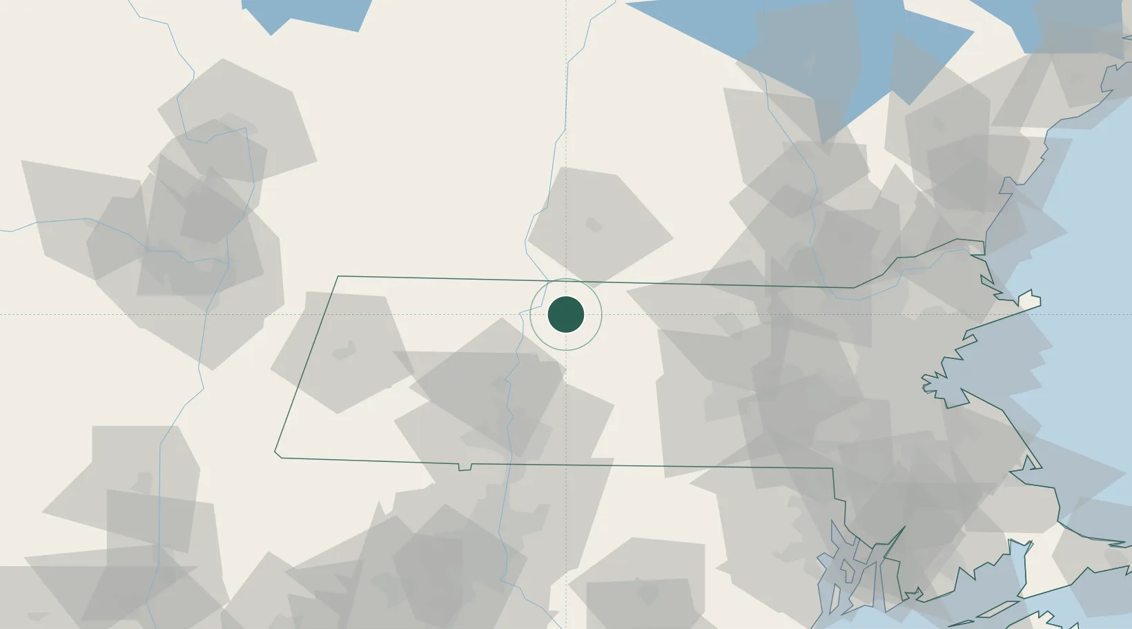
Populated place
Region
Massachusetts
Population
1,493
Time zone
America/New_York
Elevation
149 m
Location
Nearby Logistics Neighbours
Cities
- 1Orange8 km
- 2Turners Falls12 km
- 3South Deerfield21 km
- 4Phillipston23 km
- 5Rockfall26 km
Ports
- 1Troy107 km
- 2Albany111 km
- 3Rensselaer111 km
- 4Boston114 km
- 5Lynn120 km
Airports
Trade Zones
- 1FTZ No. 268 Brattleboro33 km
- 2FTZ No. 201 Holyoke49 km
- 3FTZ No. 071 Windsor Locks77 km
- 4FTZ No. 027 Boston111 km
- 5FTZ No. 121 Albany117 km
DatabookThe Record of Consolidated Knowledge
United States beyond logistics?