Transport Functions
Rail
Road
Hub Profile
Place type
Populated place
Region
Virginia
Time zone
America/New_York
Elevation
242 m
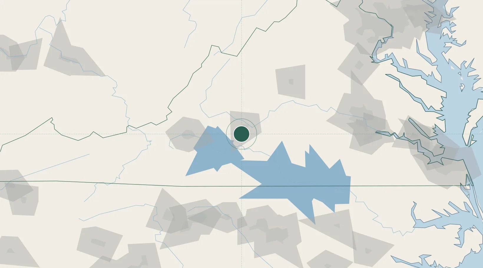
Location
Nearby Logistics Neighbours
Cities
- 1Forest10 km
- 2Madison Heights17 km
- 3Monroe23 km
- 4Brookneal38 km
- 5Moneta38 km
Ports
- 1Richmond161 km
- 2Fredericksburg191 km
- 3West Point215 km
- 4Yorktown241 km
- 5Newport News250 km
Airports
Trade Zones
- 1FTZ No. 238 Dublin133 km
- 2FTZ No. 207 Richmond148 km
- 3FTZ No. 230 Piedmont Triad Area149 km
- 4FTZ No. 093 Raleigh Durham158 km
- 5FTZ No. 185 Culpeper County168 km
DatabookThe Record of Consolidated Knowledge
United States beyond logistics?