UN/LOCODE hub · United States
USBN4
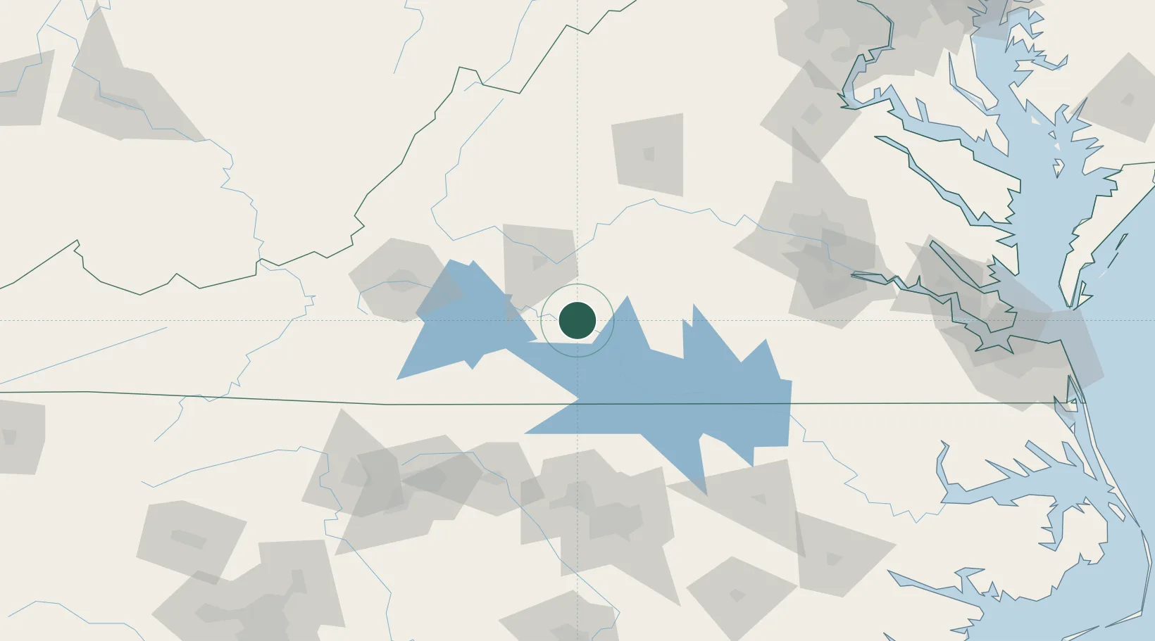
Brookneal
37.0500°, -78.9333°
1,119
Population
2
Transport functions
Transport Functions
Rail
Road
Hub Profile
Place type
Populated place
Region
Virginia
Population
1,119
Time zone
America/New_York
Elevation
163 m
Location
Nearby Logistics Neighbours
Cities
- 1Harrisburg18 km
- 2Crystal Hill22 km
- 3Clover, Halifax30 km
- 4Halifax32 km
- 5Pamplin33 km
Ports
- 1Richmond145 km
- 2Fredericksburg191 km
- 3West Point196 km
- 4Yorktown217 km
- 5Newport News222 km
Airports
Trade Zones
- 1FTZ No. 093 Raleigh Durham127 km
- 2FTZ No. 207 Richmond132 km
- 3FTZ No. 230 Piedmont Triad Area145 km
- 4FTZ No. 238 Dublin157 km
- 5FTZ No. 185 Culpeper County179 km
DatabookThe Record of Consolidated Knowledge
United States beyond logistics?