UN/LOCODE hub · United States
USLVF
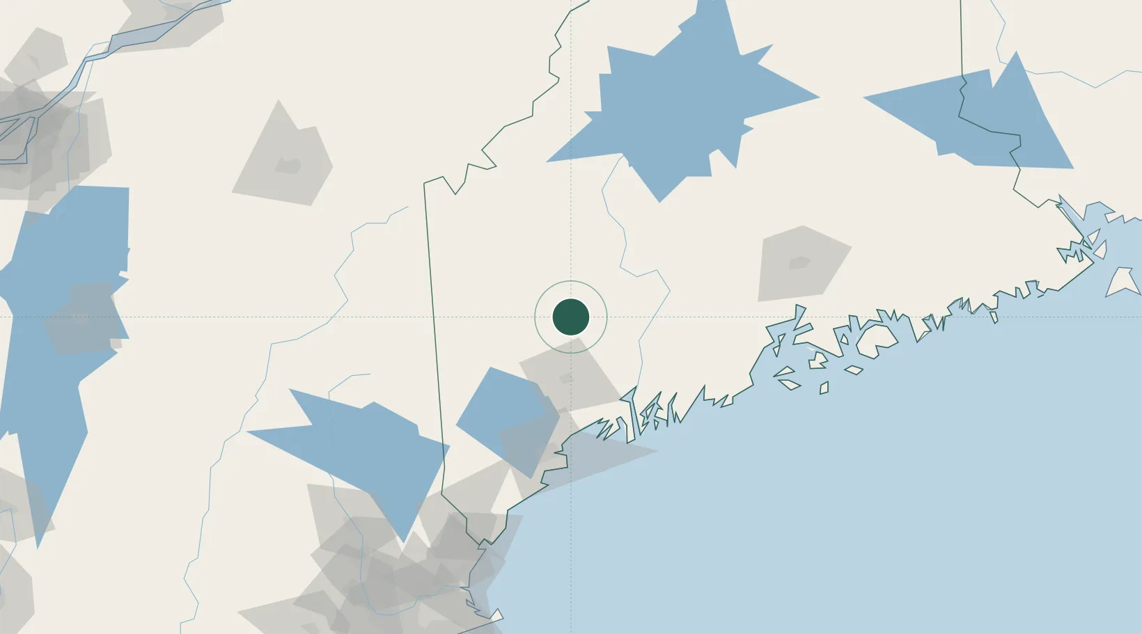
Livermore Falls
44.4833°, -70.1833°
1,594
Population
3
Transport functions
Transport Functions
Rail
Road
Multimodal
Hub Profile
Place type
Populated place
Region
Maine
Population
1,594
Time zone
America/New_York
Elevation
124 m
Location
Nearby Logistics Neighbours
Cities
- 1Jay3 km
- 2Turner27 km
- 3North Monmouth28 km
- 4Mexico33 km
- 5Vassalboro40 km
Ports
- 1Augusta38 km
- 2Gardiner43 km
- 3Bath70 km
- 4Boothbay Harbor84 km
- 5South Harpswell85 km
Airports
- 1Augusta State Airport36 km
- 2Brunswick Executive Airport69 km
- 3Portland International Jetport94 km
- 4Knox County Regional Airport98 km
- 5Islesboro Airport103 km
Trade Zones
- 1FTZ No. 186 Waterville39 km
- 2FTZ No. 263 Auburn43 km
- 3FTZ No. 058 Bangor114 km
- 4FTZ No. 081 Portsmouth167 km
- 5FTZ No. 027 Boston253 km
DatabookThe Record of Consolidated Knowledge
United States beyond logistics?