Transport Functions
Port
Hub Profile
Place type
Populated place
Region
Maine
Population
1,743
Time zone
America/New_York
Elevation
146 m
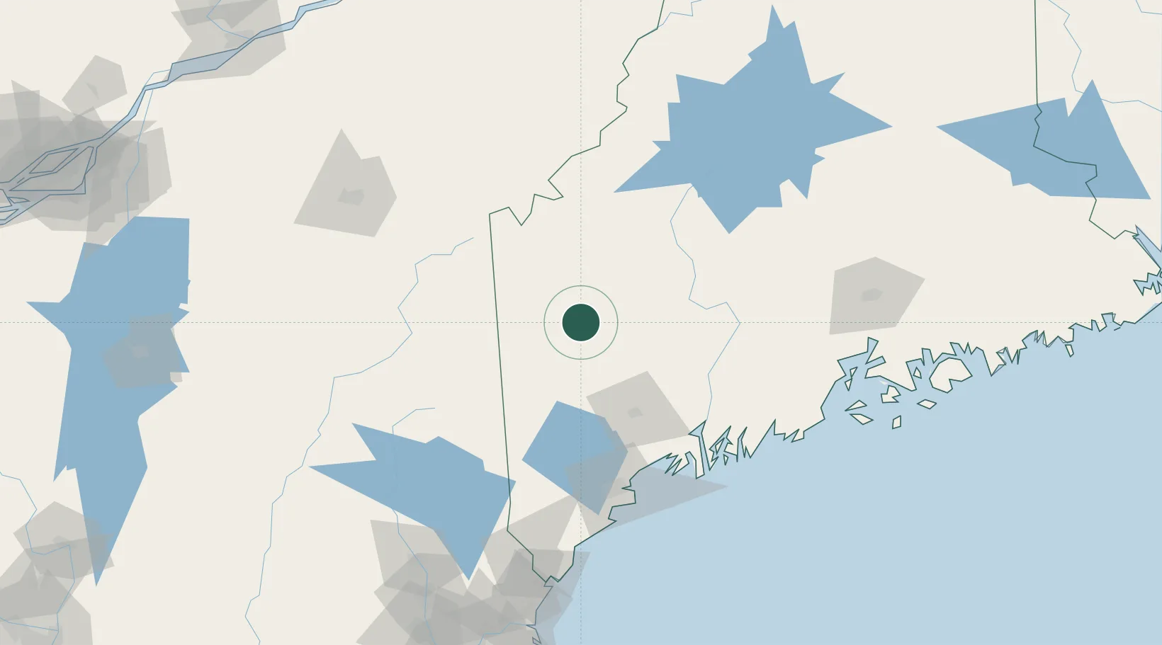
Location
Nearby Logistics Neighbours
Cities
- 1Jay30 km
- 2Livermore Falls33 km
- 3Bethel34 km
- 4Turner49 km
- 5North Anson55 km
Ports
- 1Augusta71 km
- 2Gardiner77 km
- 3Bath100 km
- 4South Harpswell110 km
- 5Portland112 km
Airports
- 1Augusta State Airport69 km
- 2Brunswick Executive Airport97 km
- 3Portland International Jetport113 km
- 4Sherbrooke Airport126 km
- 5Knox County Regional Airport132 km
Trade Zones
- 1FTZ No. 263 Auburn67 km
- 2FTZ No. 186 Waterville67 km
- 3FTZ No. 058 Bangor137 km
- 4FTZ No. 081 Portsmouth179 km
- 5Québec City FTZ249 km
DatabookThe Record of Consolidated Knowledge
United States beyond logistics?