Transport Functions
Port
Road
Hub Profile
Place type
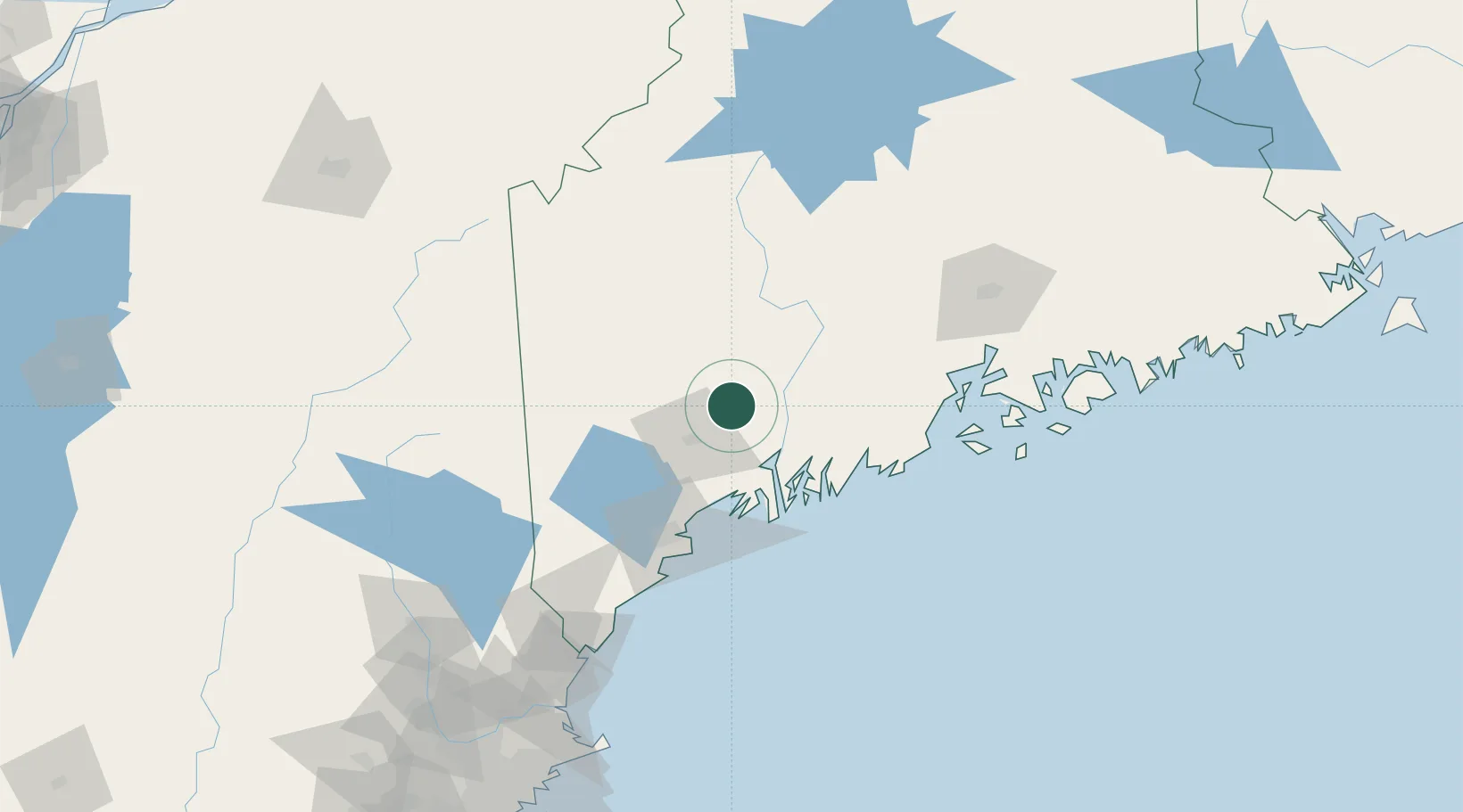
Populated place
Region
Maine
Time zone
America/New_York
Elevation
73 m
Location
Nearby Logistics Neighbours
Cities
- 1Sabattus18 km
- 2Turner20 km
- 3Lisbon27 km
- 4Livermore Falls28 km
- 5Lisbon Falls30 km
Ports
- 1Gardiner20 km
- 2Augusta21 km
- 3Bath42 km
- 4Boothbay Harbor56 km
- 5South Bristol58 km
Airports
Trade Zones
- 1FTZ No. 263 Auburn24 km
- 2FTZ No. 186 Waterville40 km
- 3FTZ No. 058 Bangor113 km
- 4FTZ No. 081 Portsmouth150 km
- 5FTZ No. 027 Boston234 km
DatabookThe Record of Consolidated Knowledge
United States beyond logistics?