Channel & Berth Profile
Pilotage, Tugs & Services
Pilotage compulsoryYES
Tug assistanceNO
Salvage tugsNO
Diesel bunkersYES
MedicalYES
Facilities & Capabilities
Container—
Ro-Ro—
Liquid bulk—
Dry bulk—
Oil terminal—
Break bulk—
Dry dock—
RepairsNO
BunkeringYES
Rail link—
Dangerous cargo—
ISPS security—
Harbour Specifications
Harbour size
Very Small
Harbour type
River (Natural)
Shelter
Good
Water body
North Atlantic Ocean
Tidal range
1.2 m
Overhead limit
Yes
Pilotage
Yes
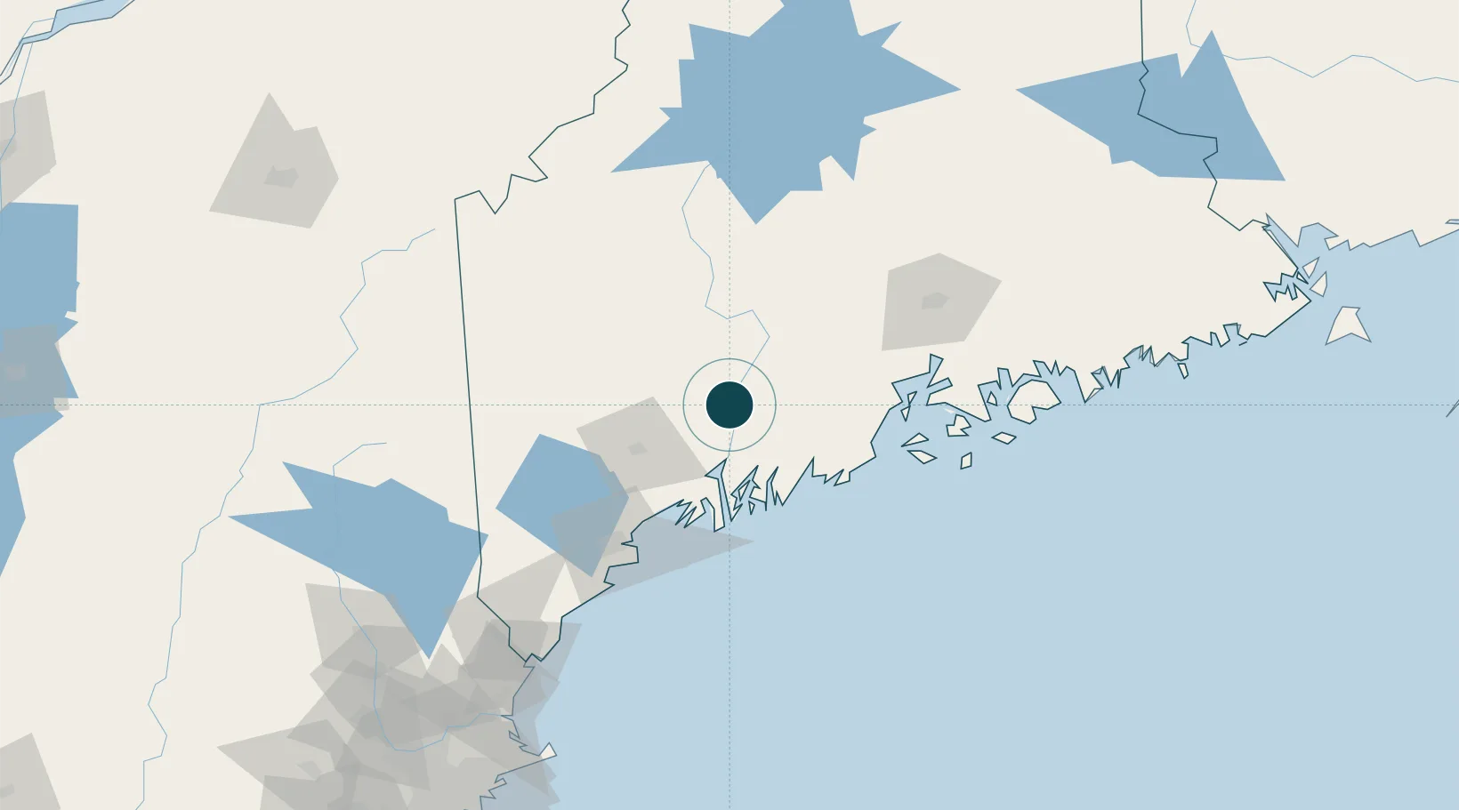
Location
Nearby Logistics Neighbours
Ports
- 1Gardiner9 km
- 2Bath45 km
- 3Friendship52 km
- 4Boothbay Harbor52 km
- 5South Bristol53 km
Cities
- 1Windsor16 km
- 2Vassalboro16 km
- 3North Monmouth21 km
- 4North Vassalboro22 km
- 5Dresden28 km
Airports
- 1Augusta State Airport3 km
- 2Brunswick Executive Airport49 km
- 3Knox County Regional Airport60 km
- 4Islesboro Airport68 km
- 5Witherspoons Airport73 km
Trade Zones
- 1FTZ No. 186 Waterville26 km
- 2FTZ No. 263 Auburn43 km
- 3FTZ No. 058 Bangor93 km
- 4FTZ No. 081 Portsmouth165 km
- 5FTZ No. 027 Boston248 km
DatabookThe Record of Consolidated Knowledge
United States beyond logistics?