UN/LOCODE hub · United States
USVSB
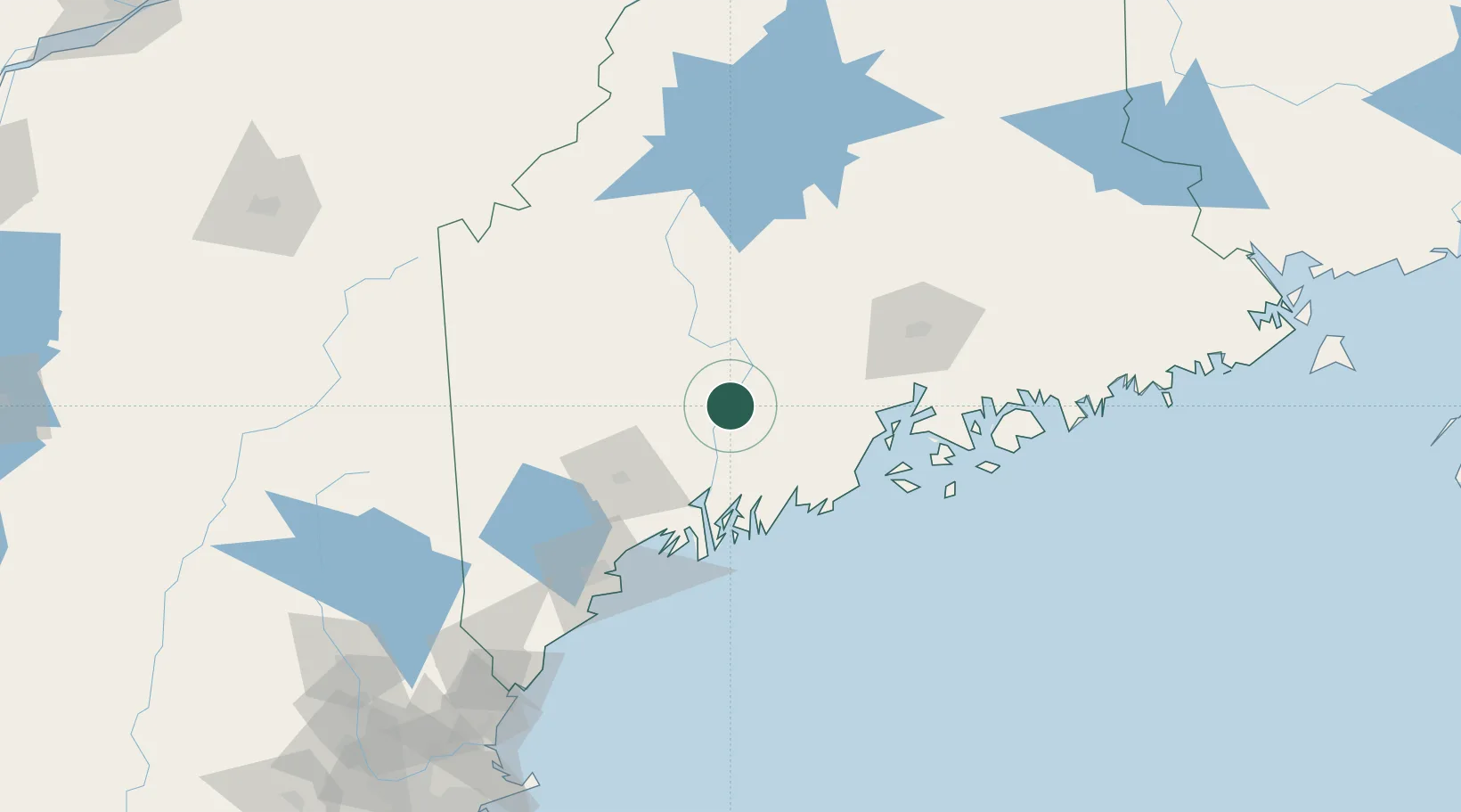
Vassalboro
44.4500°, -69.6833°
4,208
Population
3
Transport functions
Transport Functions
Rail
Road
Multimodal
Hub Profile
Place type
Populated place
Region
Maine
Population
4,208
Time zone
America/New_York
Elevation
53 m
Location
Nearby Logistics Neighbours
Cities
- 1North Vassalboro7 km
- 2Fairfield17 km
- 3Windsor19 km
- 4Unity32 km
- 5Burnham33 km
Airports
- 1Augusta State Airport17 km
- 2Islesboro Airport64 km
- 3Knox County Regional Airport64 km
- 4Brunswick Executive Airport65 km
- 5Witherspoons Airport72 km
Trade Zones
- 1FTZ No. 186 Waterville11 km
- 2FTZ No. 263 Auburn57 km
- 3FTZ No. 058 Bangor79 km
- 4FTZ No. 081 Portsmouth181 km
- 5FTZ No. 027 Boston264 km
DatabookThe Record of Consolidated Knowledge
United States beyond logistics?