Transport Functions
Port
Rail
Road
Multimodal
Hub Profile
Place type
Populated place
Region
Maine
Population
4,988
Time zone
America/New_York
Elevation
112 m
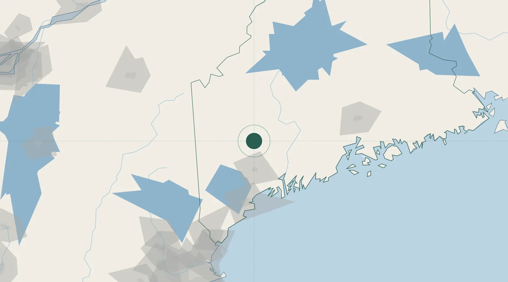
Location
Nearby Logistics Neighbours
Cities
- 1Livermore Falls3 km
- 2Turner28 km
- 3Mexico30 km
- 4North Monmouth30 km
- 5Vassalboro43 km
Ports
- 1Augusta41 km
- 2Gardiner47 km
- 3Bath72 km
- 4Boothbay Harbor87 km
- 5South Harpswell87 km
Airports
- 1Augusta State Airport39 km
- 2Brunswick Executive Airport71 km
- 3Portland International Jetport95 km
- 4Knox County Regional Airport102 km
- 5Islesboro Airport106 km
Trade Zones
- 1FTZ No. 186 Waterville41 km
- 2FTZ No. 263 Auburn45 km
- 3FTZ No. 058 Bangor116 km
- 4FTZ No. 081 Portsmouth168 km
- 5FTZ No. 027 Boston254 km
DatabookThe Record of Consolidated Knowledge
United States beyond logistics?