Transport Functions
Rail
Road
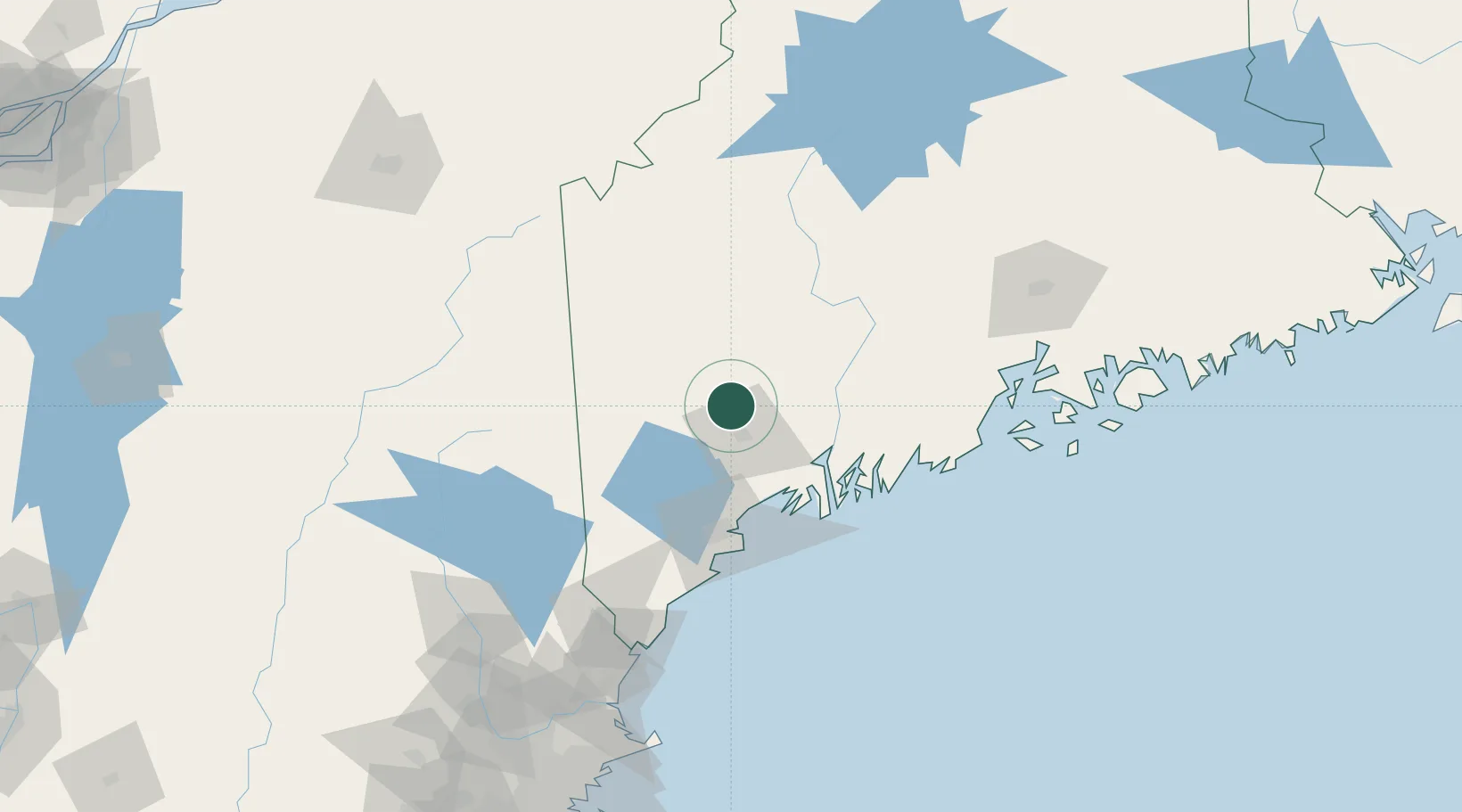
Hub Profile
Place type
Populated place
Region
Maine
Population
5,470
Time zone
America/New_York
Elevation
97 m
Location
Nearby Logistics Neighbours
Cities
- 1Mechanic Falls19 km
- 2Sabattus20 km
- 3North Monmouth20 km
- 4Oxford23 km
- 5Poland24 km
Ports
- 1Gardiner40 km
- 2Augusta41 km
- 3Bath52 km
- 4South Harpswell61 km
- 5Portland65 km
Airports
- 1Augusta State Airport38 km
- 2Brunswick Executive Airport48 km
- 3Portland International Jetport67 km
- 4Knox County Regional Airport96 km
- 5Islesboro Airport108 km
Trade Zones
- 1FTZ No. 263 Auburn18 km
- 2FTZ No. 186 Waterville56 km
- 3FTZ No. 058 Bangor131 km
- 4FTZ No. 081 Portsmouth141 km
- 5FTZ No. 027 Boston226 km
DatabookThe Record of Consolidated Knowledge
United States beyond logistics?