Transport Functions
Road
Multimodal
Hub Profile
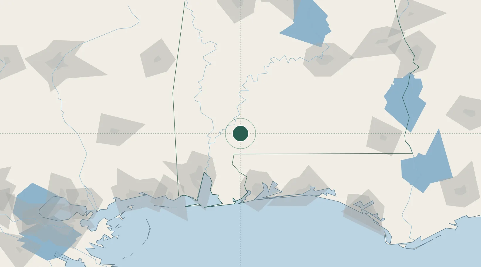
Place type
Populated place
Region
Alabama
Population
294
Time zone
America/Chicago
Elevation
107 m
Location
Nearby Logistics Neighbours
Cities
- 1Perdue Hill24 km
- 2Atmore32 km
- 3Flomaton40 km
- 4Castleberry45 km
- 5Leroy51 km
Ports
- 1Mobile90 km
- 2Pensacola104 km
- 3Pascagoula147 km
- 4Biloxi167 km
- 5Gulfport184 km
Airports
Trade Zones
- 1FTZ No. 082 Mobile88 km
- 2FTZ No. 249 Pensacola99 km
- 3FTZ No. 222 Montgomery164 km
- 4FTZ No. 092 Harrison County171 km
- 5FTZ No. 233 Dothan197 km
DatabookThe Record of Consolidated Knowledge
United States beyond logistics?