Transport Functions
Rail
Road
Hub Profile
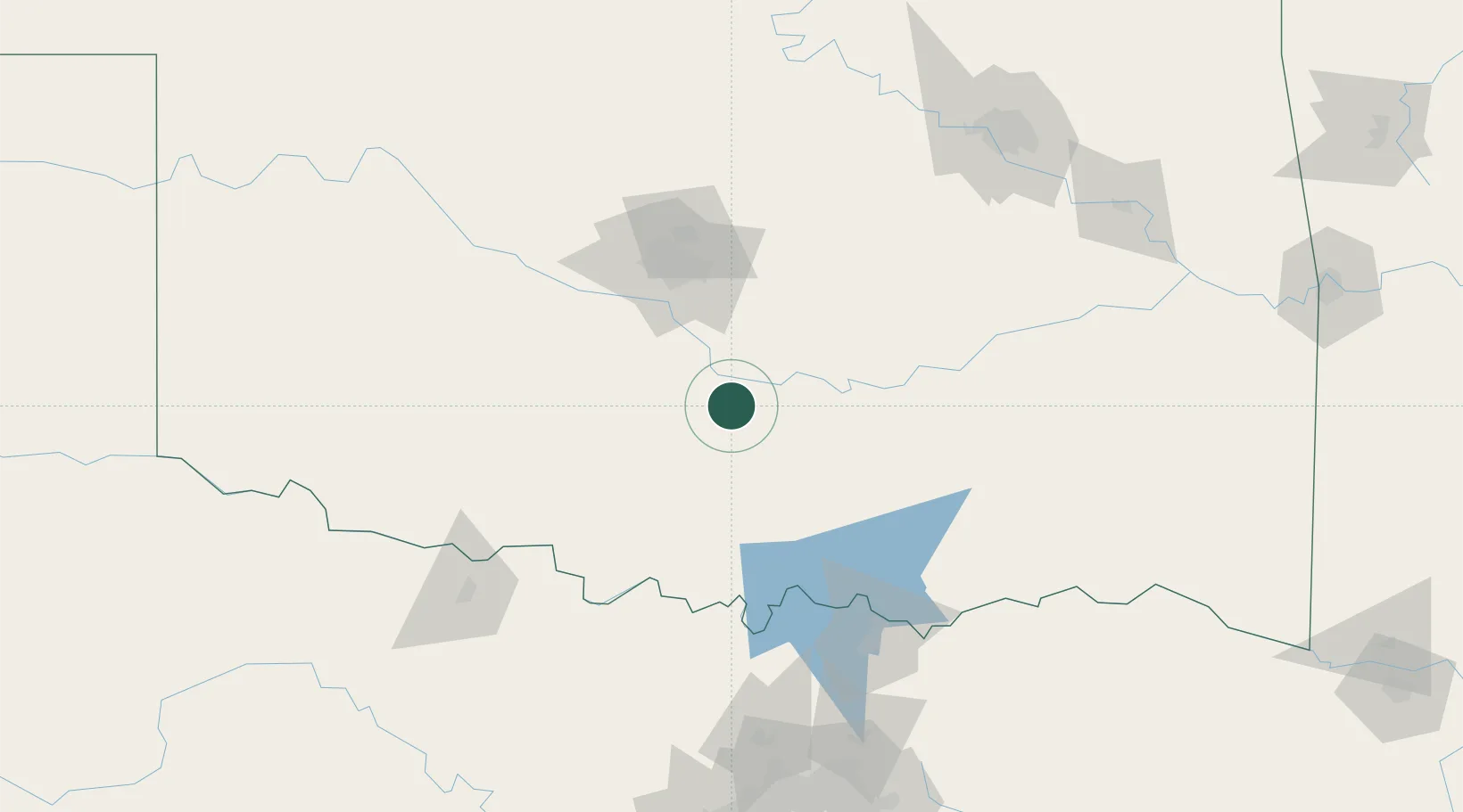
Place type
Populated place
Region
Oklahoma
Population
614
Time zone
America/Chicago
Elevation
290 m
Location
Nearby Logistics Neighbours
Airports
- 1Ada Regional Airport53 km
- 2Tinker Air Force Base68 km
- 3OKC Will Rogers World Airport72 km
- 4Henry Post Army Air Field107 km
- 5Lawton Fort Sill Regional Airport110 km
Trade Zones
- 1FTZ No. 106 Oklahoma City77 km
- 2FTZ No. 227 Durant120 km
- 3FTZ No. 164 Muskogee193 km
- 4FTZ No. 053 Rogers County211 km
- 5FTZ No. 196 Fort Worth226 km
DatabookThe Record of Consolidated Knowledge
United States beyond logistics?