Transport Functions
Road
Multimodal
Hub Profile
Place type
Populated place
Region
Oklahoma
Population
2,794
Time zone
America/Chicago
Elevation
258 m
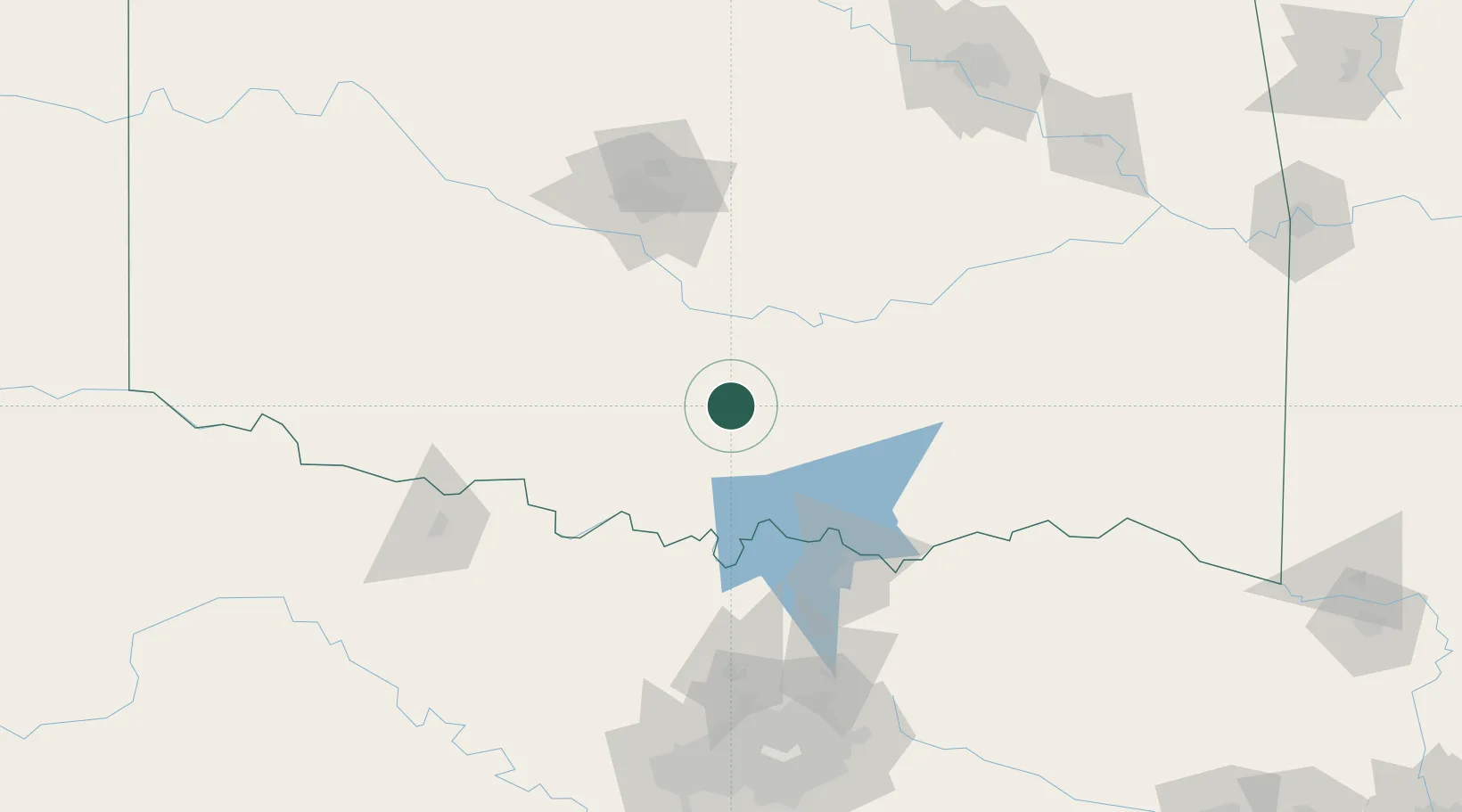
Location
Nearby Logistics Neighbours
Cities
- 1Sulphur14 km
- 2Mill Creek17 km
- 3Roff29 km
- 4Paoli37 km
- 5Healdton46 km
Airports
Trade Zones
- 1FTZ No. 227 Durant86 km
- 2FTZ No. 106 Oklahoma City114 km
- 3FTZ No. 196 Fort Worth194 km
- 4FTZ No. 168 Dallas Fort Worth199 km
- 5FTZ No. 164 Muskogee205 km
DatabookThe Record of Consolidated Knowledge
United States beyond logistics?