Transport Functions
Road
Multimodal
Hub Profile
Place type
Populated place
Region
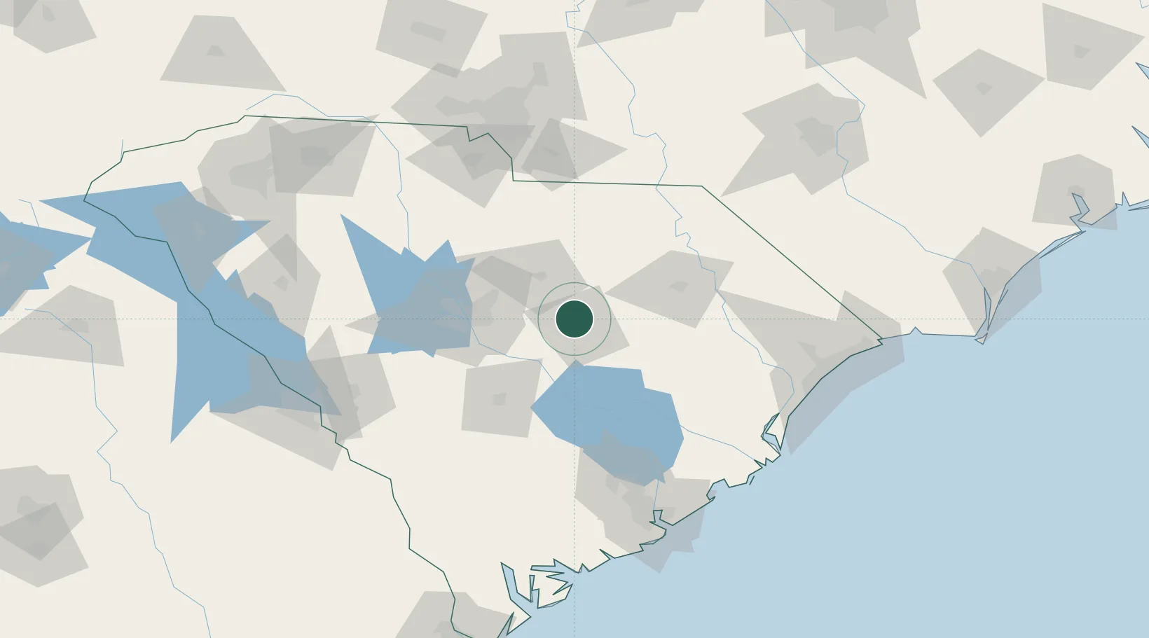
South Carolina
Population
3,059
Time zone
America/New_York
Elevation
66 m
Location
Nearby Logistics Neighbours
Cities
- 1Shaw Air Force Base6 km
- 2Lynchburg33 km
- 3Gable36 km
- 4Gadsden36 km
- 5Lamar37 km
Ports
- 1Georgetown126 km
- 2Charleston143 km
- 3Beaufort176 km
- 4Port Royal183 km
- 5Southport222 km
Airports
Trade Zones
- 1FTZ No. 127 West Columbia66 km
- 2FTZ No. 021 Dorchester County107 km
- 3FTZ No. 057 Mecklenburg County153 km
- 4FTZ No. 038 Spartanburg County195 km
- 5FTZ No. 104 Savannah221 km
DatabookThe Record of Consolidated Knowledge
United States beyond logistics?