Medium airport · United States

Columbia Metropolitan AirportKCAE
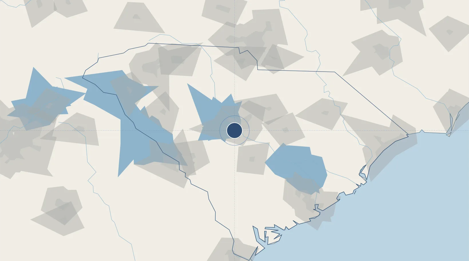
33.9382°, -81.1230°
8,601 ft
Longest runway
2
Runways
236 ft
Elevation

Runway & Layout

Columbia Metropolitan Airport runway & taxiway layout
Runway & taxiway layout — OpenStreetMap (ODbL) / OurAirports

Radio Frequencies

ATIS
120.15 MHz
TWR
119.5 MHz
GND
121.9 MHz
CLD
119.75 MHz
CLNC DEL
A/D
124.15 MHz
APP/DEP
RDO
122.65 MHz
ANDERSON RDO
UNIC
122.95 MHz
UNICOM
OurAirports

Navaids

CA NDB Murry 362 kHz
OurAirports

Runways · 2

RunwayDimensions SurfaceTrue headingLit
11/29 8,601 × 150ft Asphalt 105°
05/23 8,001 × 150ft Asphalt / concrete 045°
OurAirports

Airport Specifications

IATA code
CAE
OurAirports
ICAO code
KCAE
OurAirports
Airport class
Medium airport
OurAirports
Scheduled service
Yes
OurAirports
Runway surface
Asphalt
OurAirports
Served city
Columbia
OurAirports

Location

Location of KCAE
Natural Earth 10m (public domain) · South Carolina · KCAE · 33.94, -81.12GoogleOSMYandex

Nearby Logistics Neighbours

Airports
  1. 1Jim Hamilton L.B. Owens Airport12 km
  2. 2Mc Entire Joint National Guard Base30 km
  3. 3Orangeburg Municipal Airport59 km
  4. 4Shaw Air Force Base60 km
  5. 5Daniel Field100 km
Nearest neighbours — logibook spatial index (haversine) over the source coordinates
Cities
  1. 1Fort Jackson16 km
  2. 2Swansea23 km
  3. 3Pelion23 km
  4. 4Hopkins24 km
  5. 5Gilbert26 km
Nearest neighbours — logibook spatial index (haversine) over the source coordinates
Ports
  1. 1Charleston170 km
  2. 2Beaufort173 km
  3. 3Port Royal180 km
  4. 4Georgetown182 km
  5. 5Savannah206 km
Nearest neighbours — logibook spatial index (haversine) over the source coordinates
Trade Zones
  1. 1FTZ No. 127 West Columbia6 km
  2. 2FTZ No. 021 Dorchester County103 km
  3. 3FTZ No. 057 Mecklenburg County147 km
  4. 4FTZ No. 038 Spartanburg County148 km
  5. 5FTZ No. 104 Savannah205 km
Nearest neighbours — logibook spatial index (haversine) over the source coordinates
DatabookThe Record of Consolidated Knowledge
United States beyond logistics?
Browse databook

All Sources

AirportsOurAirports
Public domain
Portsthe NGA World Port Index
Public domain (US gov)
LocationsUN/LOCODE
UN/LOCODE — free
Trade Zonesthe World Bank SEZ database
CC BY 4.0
Trade ZonesOpen Zone Map
CC BY
InfrastructureOpenStreetMap
ODbL 1.0
← United States airports