UN/LOCODE hub · United States
USOKT
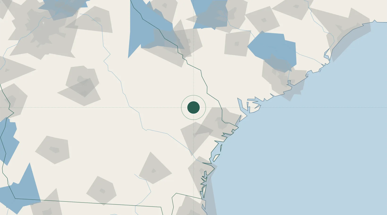
Brooklet
32.3667°, -81.6500°
1,457
Population
2
Transport functions
Transport Functions
Road
Multimodal
Hub Profile
Place type
Populated place
Region
Georgia
Population
1,457
Time zone
America/New_York
Elevation
46 m
Location
Nearby Logistics Neighbours
Ports
- 1Savannah62 km
- 2Port Royal91 km
- 3Beaufort93 km
- 4Darien113 km
- 5Brunswick136 km
Airports
Trade Zones
- 1FTZ No. 104 Savannah61 km
- 2FTZ No. 021 Dorchester County118 km
- 3FTZ No. 144 Brunswick136 km
- 4FTZ No. 127 West Columbia187 km
- 5FTZ No. 064 Jacksonville227 km
DatabookThe Record of Consolidated Knowledge
United States beyond logistics?