Foreign Trade Zone · United States

FTZ No. 165 Midland Active

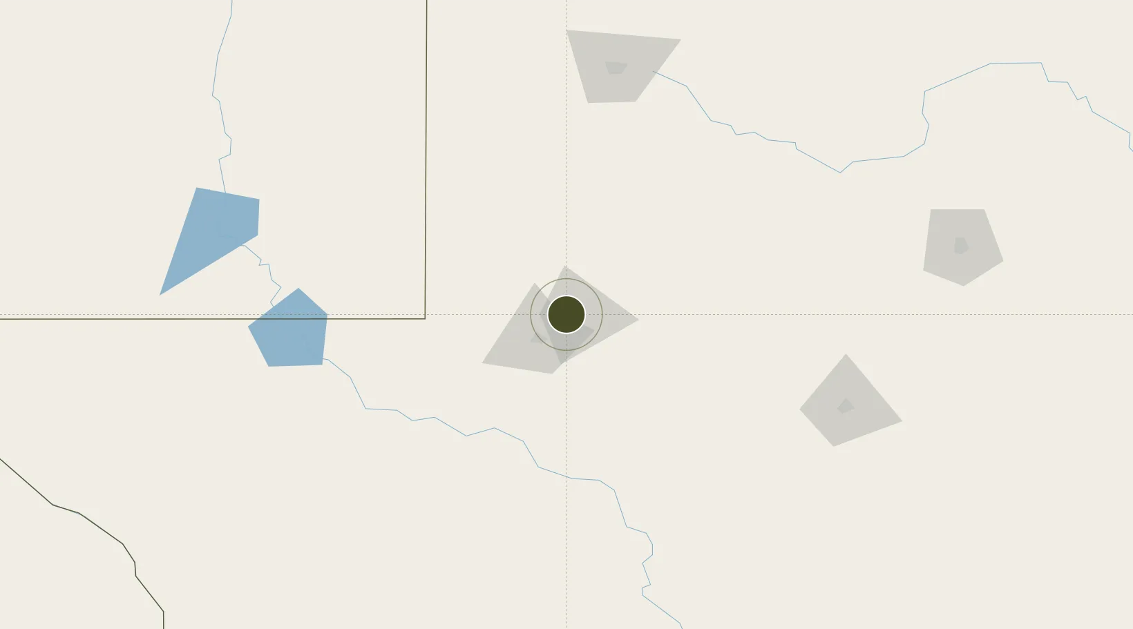
32.0290°, -102.1923°
655.9 km
Nearest port
9.7 km
Nearest airport

Gateway access

Nearest neighbours — logibook spatial index (haversine) over the source coordinates

Zone profile

Zone type
Foreign Trade Zone
Open Zone Map
Region
Texas
Open Zone Map
Status
Active
Open Zone Map
Management
Public-Private Partnership
Open Zone Map
Operator
City of Midland and Midland International Airport
Open Zone Map
Legal framework
Foreign-Trade Zones Act
Open Zone Map

Location

Location of ozm-4969
Natural Earth 10m (public domain) · Texas · ozm-4969 · 32.03, -102.19GoogleOSMYandex

Nearby Logistics Neighbours

Ports
  1. 1Port Lavaca656 km
  2. 2Corpus Christi658 km
  3. 3Rockport666 km
  4. 4Port Ingleside672 km
  5. 5Port Aransas680 km
Nearest neighbours — logibook spatial index (haversine) over the source coordinates
Airports
  1. 1Midland International Air and Space Port10 km
  2. 2Winkler County Airport99 km
  3. 3Lea County Regional Airport121 km
  4. 4Fort Stockton Pecos County Airport142 km
  5. 5San Angelo Regional Mathis Field177 km
Nearest neighbours — logibook spatial index (haversine) over the source coordinates
Cities
  1. 1Gardendale17 km
  2. 2McCamey100 km
  3. 3Pecos140 km
  4. 4Wilson150 km
  5. 5Mertzon156 km
Nearest neighbours — logibook spatial index (haversine) over the source coordinates
Trade Zones
  1. 1FTZ No. 166 Homestead0 km
  2. 2FTZ No. 260 Lubbock174 km
  3. 3FTZ No. 261 Alexandria174 km
  4. 4FTZ No. 252 Amarillo354 km
  5. 5FTZ No. 039 Dallas Fort Worth394 km
Nearest neighbours — logibook spatial index (haversine) over the source coordinates
DatabookThe Record of Consolidated Knowledge
United States beyond logistics?
Browse databook

All Sources

Trade ZonesOpen Zone Map
CC BY
Portsthe NGA World Port Index
Public domain (US gov)
AirportsOurAirports
Public domain
LocationsUN/LOCODE
UN/LOCODE — free
← United States trade zones