Medium airport · United States
Sonora Municipal AirportKSOA
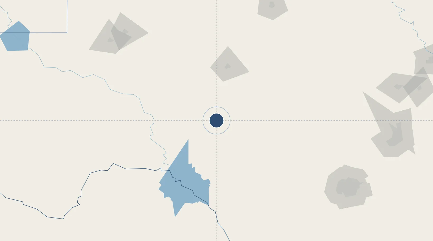
30.5857°, -100.6490°
4,037 ft
Longest runway
1
Runways
2,140 ft
Elevation
Runway & Layout

Radio Frequencies
AWOS
118.075 MHz
AWOS 3
CNTR
125.75 MHz
HOUSTON CNTR
UNIC
122.8 MHz
CTAF/UNICOM
Runways · 1
| Runway | Dimensions | Surface | True heading | Lit |
|---|---|---|---|---|
| 18/36 | 4,037 × 60ft | Asphalt | 190° | ✓ |
Airport Specifications
ICAO code
KSOA
Airport class
Medium airport
Scheduled service
No
Runway surface
Asphalt
Served city
Sonora
Location
Nearby Logistics Neighbours
Airports
- 1Kimble County Airport85 km
- 2San Angelo Regional Mathis Field87 km
- 3Laughlin Air Force Base137 km
- 4Del Rio International Airport137 km
- 5Curtis Field143 km
Cities
- 1Eldorado30 km
- 2Mertzon76 km
- 3Laughlin Air Force Base138 km
- 4Ingram148 km
- 5McCamey162 km
Ports
- 1Corpus Christi441 km
- 2Port Lavaca447 km
- 3Rockport451 km
- 4Port Ingleside456 km
- 5Port Aransas464 km
Trade Zones
- 1FTZ No. 096 Eagle Pass211 km
- 2FTZ No. 080 San Antonio217 km
- 3FTZ No. 165 Midland217 km
- 4FTZ No. 166 Homestead217 km
- 5FTZ No. 183 Austin281 km
DatabookThe Record of Consolidated Knowledge
United States beyond logistics?