UN/LOCODE hub · United States
USDDO
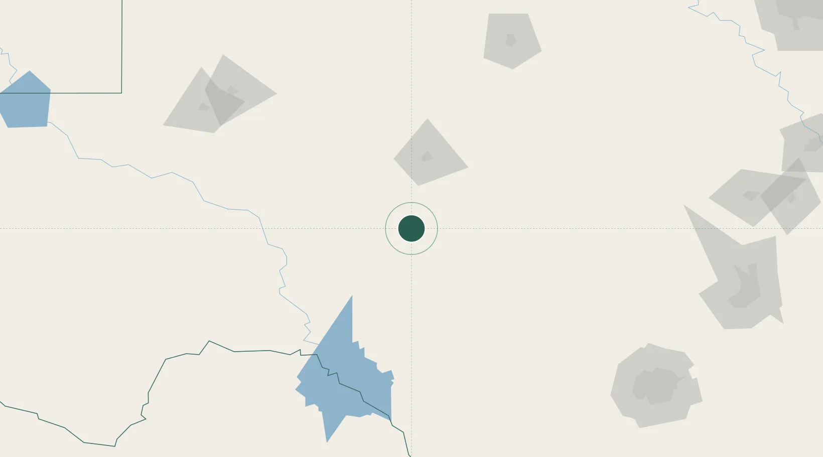
Eldorado
30.8500°, -100.6000°
1,810
Population
2
Transport functions
Transport Functions
Road
Multimodal
Hub Profile
Place type
Provincial seat
Region
Texas
Population
1,810
Time zone
America/Chicago
Elevation
743 m
Location
Nearby Logistics Neighbours
Cities
- 1Mertzon49 km
- 2Wingate141 km
- 3McCamey157 km
- 4Ingram157 km
- 5Laughlin Air Force Base168 km
Ports
- 1Port Lavaca458 km
- 2Corpus Christi458 km
- 3Rockport466 km
- 4Port Ingleside473 km
- 5Port Aransas481 km
Airports
- 1Sonora Municipal Airport30 km
- 2San Angelo Regional Mathis Field57 km
- 3Kimble County Airport88 km
- 4Curtis Field127 km
- 5Laughlin Air Force Base167 km
Trade Zones
- 1FTZ No. 165 Midland200 km
- 2FTZ No. 166 Homestead200 km
- 3FTZ No. 080 San Antonio231 km
- 4FTZ No. 096 Eagle Pass240 km
- 5FTZ No. 183 Austin281 km
DatabookThe Record of Consolidated Knowledge
United States beyond logistics?