Transport Functions
Rail
Road
Hub Profile
Place type
Populated place
Region
Oklahoma
Population
695
Time zone
America/Chicago
Elevation
220 m
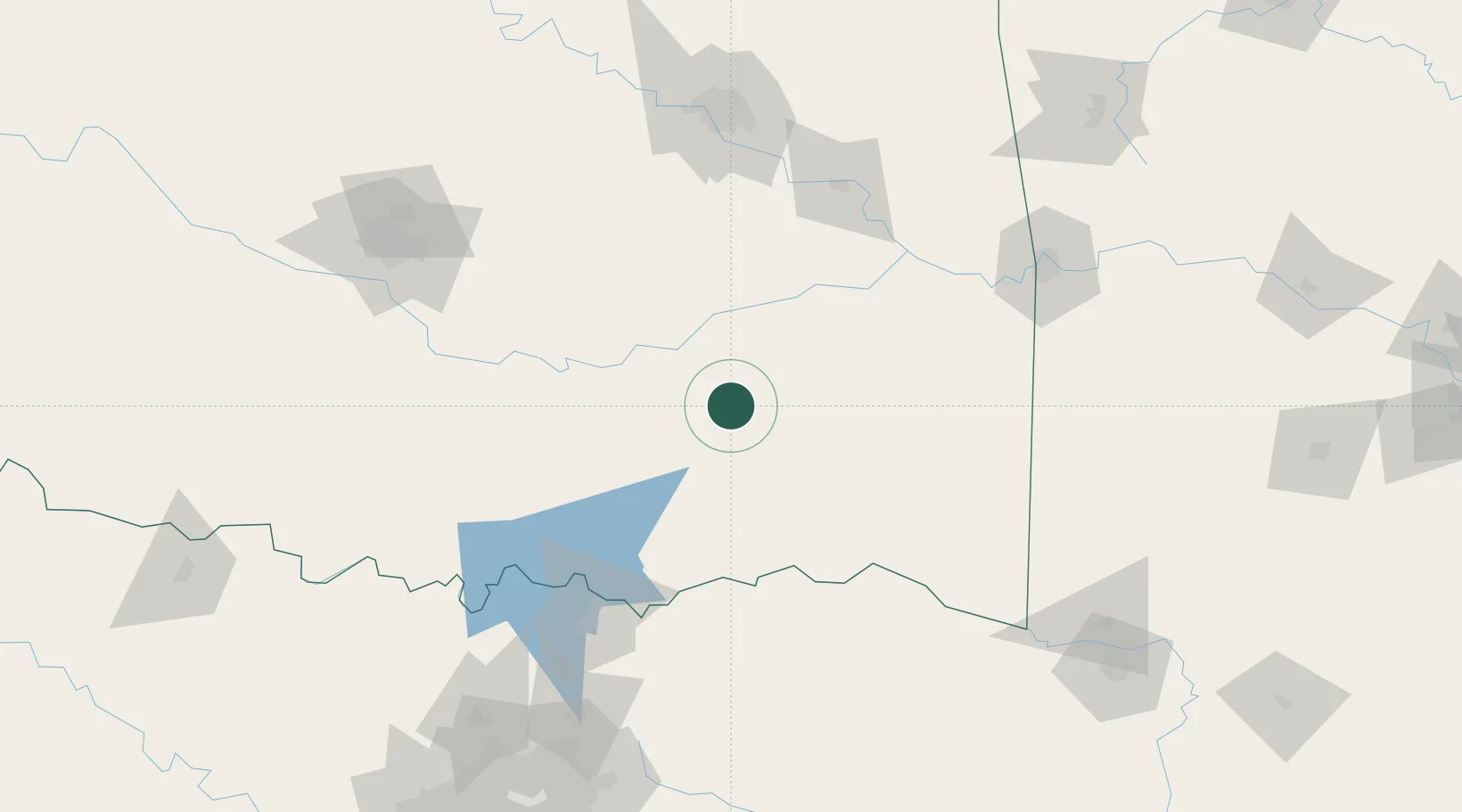
Location
Nearby Logistics Neighbours
Cities
- 1Haileyville34 km
- 2Atoka42 km
- 3Coleman69 km
- 4Milburn79 km
- 5Talihina79 km
Ports
- 1Port Of Memphis524 km
- 2Beaumont543 km
- 3Orange554 km
- 4Deer Park555 km
- 5Houston555 km
Airports
Trade Zones
- 1FTZ No. 227 Durant91 km
- 2FTZ No. 164 Muskogee120 km
- 3FTZ No. 106 Oklahoma City170 km
- 4FTZ No. 258 Bowie County178 km
- 5FTZ No. 053 Rogers County180 km
DatabookThe Record of Consolidated Knowledge
United States beyond logistics?