UN/LOCODE hub · United States
USHLV
Haileyville
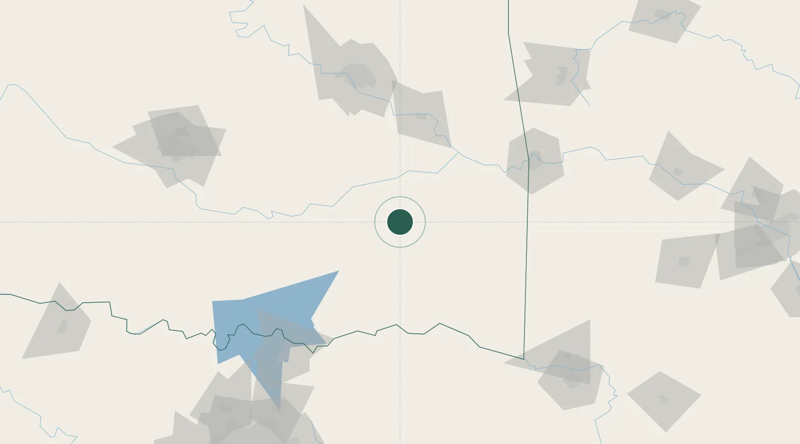
34.8500°, -95.5667°
779
Population
3
Transport functions
Transport Functions
Rail
Road
Multimodal
Hub Profile
Place type
Populated place
Region
Oklahoma
Population
779
Time zone
America/Chicago
Elevation
193 m
Location
Nearby Logistics Neighbours
Ports
- 1Port Of Memphis493 km
- 2Beaumont548 km
- 3Orange557 km
- 4Lake Charles559 km
- 5Port Neches560 km
Airports
- 1Mc Alester Regional Airport20 km
- 2Ada Regional Airport101 km
- 3Fort Smith Regional Airport122 km
- 4Durant Regional Airport - Eaker Field127 km
- 5Cox Field135 km
Trade Zones
- 1FTZ No. 164 Muskogee99 km
- 2FTZ No. 227 Durant121 km
- 3FTZ No. 053 Rogers County167 km
- 4FTZ No. 258 Bowie County173 km
- 5FTZ No. 106 Oklahoma City191 km
DatabookThe Record of Consolidated Knowledge
United States beyond logistics?