UN/LOCODE hub · United States
USTA2
Talihina
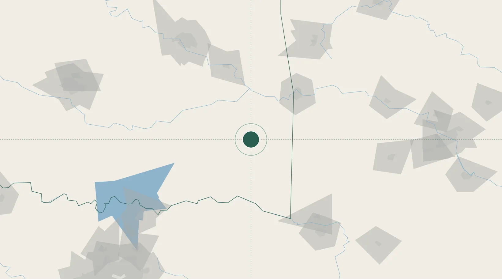
34.7500°, -95.0333°
1,097
Population
1
Transport functions
Transport Functions
Port
Hub Profile
Place type
Populated place
Region
Oklahoma
Population
1,097
Time zone
America/Chicago
Elevation
208 m
Location
Nearby Logistics Neighbours
Cities
- 1Fanshawe25 km
- 2Howe43 km
- 3Keota48 km
- 4Haileyville50 km
- 5Stigler56 km
Ports
- 1Port Of Memphis445 km
- 2Beaumont527 km
- 3Lake Charles531 km
- 4Orange533 km
- 5Port Neches538 km
Airports
- 1Mc Alester Regional Airport70 km
- 2Fort Smith Regional Airport89 km
- 3Cox Field130 km
- 4Ada Regional Airport150 km
- 5Durant Regional Airport - Eaker Field154 km
Trade Zones
- 1FTZ No. 164 Muskogee115 km
- 2FTZ No. 258 Bowie County145 km
- 3FTZ No. 227 Durant150 km
- 4FTZ No. 053 Rogers County191 km
- 5FTZ No. 106 Oklahoma City240 km
DatabookThe Record of Consolidated Knowledge
United States beyond logistics?