Transport Functions
Rail
Road
Multimodal
Hub Profile
Place type
Populated place
Region
Wisconsin
Time zone
America/Chicago
Elevation
246 m
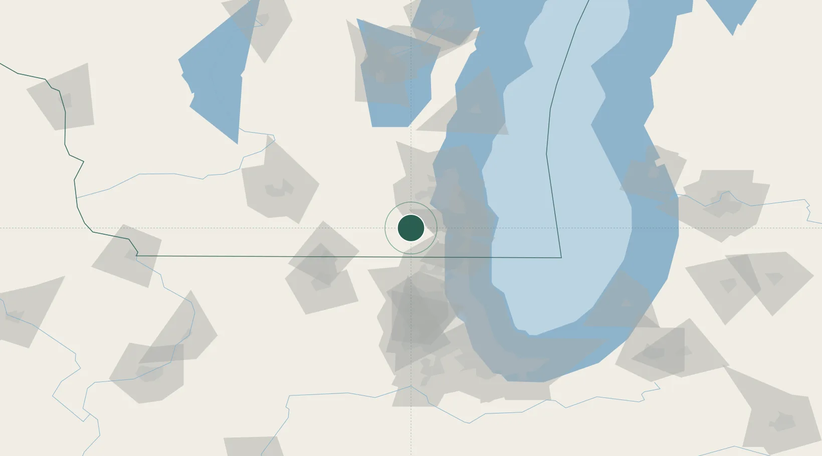
Location
Nearby Logistics Neighbours
Cities
- 1East Troy9 km
- 2Mukwonago13 km
- 3Kansasville17 km
- 4Eagle20 km
- 5Muskego22 km
Ports
- 1Racine42 km
- 2Kenosha44 km
- 3Milwaukee46 km
- 4Waukegan58 km
- 5Great Lakes63 km
Airports
Trade Zones
- 1FTZ No. 041 Milwaukee38 km
- 2FTZ No. 292 Lake County58 km
- 3FTZ No. 176 Rockford93 km
- 4FTZ No. 022 Chicago108 km
- 5FTZ No. 266 Dane County120 km
DatabookThe Record of Consolidated Knowledge
United States beyond logistics?